1 Welcome to Settle

Settle is a small market town in the Craven district of North Yorkshire. From here in the Market Place you can see both town and country - Settle’s historic buildings nestle below a crag in the Yorkshire Dales.

This walk starts by exploring the countryside around Settle. We will climb 300 metres to an ancient cave which gives clues to what this area looked like tens of thousands of years ago. We will see how geology has affected the way the land has been farmed and examine stone walls to find out when and why they
were built.

In the town we will pass several historic houses, find out about the people who lived in them and how their lives were shaped by the landscape. We will also see how the town developed when the Quakers gained commercial control.

The walk was created by Tony Stephens who lives in the adjacent village of Giggleswick.

Tony: “Since childhood I have been fascinated by this area which is known for its limestone scenery and charming villages.”

“In retirement I have spent over a decade researching documentary sources to find out what they tell us about the history of the North Craven area. I will share some of this with you as we explore the landscape and townscape of Settle. I hope you enjoy the walk!”


Settle Market Place by W G Herdman, 1840s

© Tom Lord
Directions

From the Market Cross walk to the left side of the arched building known as The Shambles. Walk up Constitution Hill following the sign for Castleberg and Tot Lord Trail and continue as the road bears left. Take a gravelled path on the right following a sign for Pennine Bridleway Langcliffe. After about 100 metres on the right after a tree plantation is a gate leading into a field. Stop here.

2 Enclosing the pastures

Drystone walls are an attractive feature of rural Britain. You’ll find them crisscrossing the landscape in over 20 counties with Cornwall, Cumberland, Derbyshire, Westmoreland and Yorkshire having more than half the total. The longest are found here in Yorkshire.

But have you ever wondered when all the stone walls were built? Most of those we will see today were built in the middle of the eighteenth century but there are a few much older ones.

Look at the wall that climbs the hillside from here and notice how straight it is. This wall is typical of many that were built to enclose sheep and cattle pastures. These stone walls were built as a result of a Parliamentary Enclosure Act of 1757 for Settle which divided the common pastures. They are straight because they were laid out by professional surveyors.

In contrast, the arable fields in the valley bottoms that we will see later were enclosed in a piecemeal fashion by private agreement between farmers. Their walls are often irregular and follow late medieval boundaries.

For the first part of the walk we will be walking on limestone. Limestone was formed when much of Britain lay under a shallow tropical sea during the Carboniferous Period some 360-290 million years ago. Fields that sit on limestone produce good grass which is ideal for sheep but are too dry to support cattle without a pumped water supply. Just over 1,000 sheep grazed the common sheep pastures here before their enclosure.

Before we move on, look out for a line of stones that stick out from the wall about 50cm from the top. Keep this in mind as a little later on we’ll find out how we can date this feature.


Sheep on Stockdale Lane
© Tony Stephens
Directions

Follow the path and go through a gate next to a small barn. Continue with the wall on your left for about 200 metres to reach a short section between two stone walls. After going through a small gate, stop after about 50 metres, just over halfway up the walled section.

3 Ancient builders

Look at the walls on either side of you. Can you see a difference between them?

The wall on the west (or lower) side of this track is a typical eighteenth-century stone wall. It was built of relatively uniformsized pieces of quarried limestone.

Compare this with the much more interesting easterly (or upper) wall. Can you see that it meanders in a highly irregular manner and includes some sizeable limestone boulders? Their size tells us something about the likely age of the wall.

Walls containing boulders like these normally pre-date the middle of the fourteenth century when most fields had been cleared for agricultural use. It was often desirable to have a wall round a newly cleared field, and the material cleared from the field provided a useful source.

In most North Craven townships it is possible to identify a few ancient walls of this type. We shall see a few more later in the walk. They are usually associated either with ancient field enclosures, divisions between arable land and pastures (called ‘outdykes’), ancient roads or township boundaries. The wall here is the township boundary between Settle and Langcliffe, and the boulders suggest that this portion of the boundary has not changed since the late-medieval period.

Now look over the lower wall into the valley below to see the River Ribble flowing under Settle bridge. If you were closer you would be able to see the ribbed arches of an older bridge underneath.This type of bridge design was only used in the late-medieval period. The monks of Sawley Abbey near Clitheroe appear to be the most likely builders of this old bridge which would have provided access to their outlying farms (or ‘granges’) which lay on both sides of the river. One of these was Lower Winskill Farm which we will see in the distance later.


The ancient boundary wall between Settle and Langcliffe
© Tony Stephens
Directions

Continue in the same direction with a wall on your left until you reach a small gate by a copse on the left. There are now several rather indistinct tracks across the field ahead. It does not matter which you take to climb upwards to a gate below a wood. Go through this gate and stop just before a second gate.

4 Water power

The Industrial Revolution which swept across Britain at the end of the eighteenth century transformed the nation from an agricultural to an industrial one. But did you know that manufacturing came to the Pennines early during the Industrial Revolution?

The sleepy village of Langcliffe below was once an important manufacturing centre and you should be able to make out its mill.

Many Pennine corn mills had become redundant when arable fields were turned over to animal pasture. They were easily converted to produce cotton but most of these water mills were not very powerful.

They were limited by the capacity of their mill ponds and typically generated only 5 to 10 horsepower. This was plenty to grind corn but not enough to compete with Lancashire’s large steam-driven cotton mills. Many went out of business early in the nineteenth century.

Langcliffe survived much longer than most because its mill pond was a third of a mile long and could generate 40 horsepower. The mill was built in 1783 and housed new spinning machines invented by Richard Arkwright who was a friend of the owners. By 1833 it employed 203 people. Sadly it went bankrupt when its owner made a bad investment in a bank. The mill closed and many workers moved to Accrington where an area of the town became known as Little Langcliffe.


Langcliffe millpond 
© Tony Stephens 
Directions

Go through the gate. Follow the path until it meets a wall at the end of a copse where you can see a tarmac road coming up from Langcliffe. Stop here.

5 Three peaks

Look further up the valley and you should be able to see a large limestone crag with a white farmhouse on top of it. This is Lower Winskill Farm which was a grange of Sawley Abbey.

A truss in the roof of the barn there dates back to the beginning of the sixteenth century, close to the end of the monastic period. It is the oldest dated farm building fabric in North Craven.

Today Lower Winskill is a working farm where the pastures are carefully grazed to maximise the production of a wide range of flowers. It is well worth a visit.

We are at less than 300 metres above sea level here. There are not many places as low as this where you can see simultaneously all of Yorkshire’s famous Three Peaks.

Providing the cloud base is sufficiently high you should be able to see the distinctive shape of Peny-ghent with its stepped summit to the right of Winskill. If you look over the valley you will also see on the skyline the stepped elevation of Ingleborough. To its right, just peeping over the flank of Ingleborough, is the more rounded top of Whernside.

Look again at the top of Pen-y-ghent. Its unusual shape is due to a lower step of limestone being topped by a cap of gritstone. This cap survived because it kept its head just above the level of the ice during the Ice Ages. We will come across gritstone again later in the walk and find out more about it then.


Pen-y-ghent above Lower Winskill
© Tony Stephens
Directions

Follow the path to the right and proceed through the gate onto the tarmac road. Immediately turn sharp right away from the road and follow the sign for Pennine Bridleway Settle Loop. After about 800 metres you will reach the base of a limestone crag called Langcliffe Scar. Pass a barn then continue to a gate on the right. Go through the gate then immediately sharp right following a small path for about 300 metres along the base of the scar. Look carefully for a track on the left which climbs up to Victoria Cave. The track is not signed and the cave is not visible from the path below. Stop at the information board in front of the cave.

6 Hippos, hyaena and bears

Victoria Cave is one of several hundred caves in the limestone area of Northwest England. Rainwater is slightly acidic and as it percolated through cracks in the rock over millions of years it dissolved the limestone. Some cracks became large enough to support underground streams and rivers. These gouged out many large underground caverns.

Victoria Cave was found in 1837 and is by far the most important cave scientifically because it holds clues to how this area looked tens of thousands of years ago.

During the Victorian Period there was a fierce controversy about whether there had been a single Ice Age or a series of ice advances with warm interludes. Joseph Jackson of Settle had found bones here shortly after the cave had been discovered and later it was realised that these might provide an answer. A committee of eminent scientists, including Professor Adam Sedgwick of Cambridge University and Sir Charles Lyell, was formed to sponsor an excavation. Between 1870 and 1878 Joseph Jackson provided local supervision to the project which was one of the first scientific attempts to investigate climate change.

Many finds were made but scientific techniques were not sufficiently well-advanced at the time to answer many of the questions that they posed. However, modern scientific analysis has now been carried out on the original finds as well as those of a later excavation by Tot Lord of Settle in the 1930s and his grandson, Tom Lord of Lower Winskill Farm, more recently. This has revealed the true scientific importance of the cave and its surviving artefacts.

We now know that hyenas used the cave as a hunting den during a warm interlude some 125,000 years ago. They scavenged and brought back to the cave bones of hippos, rhinos, mammoths and elephants. Records of these animals do not survive elsewhere because evidence was swept away in the subsequent ice advance. Astonishingly, it has recently been possible to analyse pollen in fossilised hyena dung. This provides direct evidence that the local landscape was mainly open
grassland during the warmer climatic period.

Following the last ice retreat brown bears hibernated in the cave around 14,600 years ago. The scattering of gnawed bones within the cave reveals scavenging by wolves and cut marks on wild horse bones dated to around 14,400 years ago are characteristic of human butchery. These marks are the first evidence of our ancestors living in the area.


Entrance to Victoria Cave

© Mike Jackson
Directions

From the cave, retrace your steps back down the track to the bottom of the scar and turn left along the path. Go through a kissing gate and after about 600 metres the path descends reasonably steeply to a lower level. Stop about halfway down the slope, next to a small gate in a limestone wall which is adjacent to the path.

7 Faulty rocks

Can you recognise the straight limestone wall to the right as one of those built under the Parliamentary Enclosure Act that we heard about earlier?

So far we have been walking on limestone but we are now approaching the Mid Craven Fault beyond which the bedrock is gritstone.

Unlike limestone, which was formed under a tropical sea, gritstone was created by deposits of sandy material from massive rivers similar to today’s Mississippi which once flowed over the northern Pennines and all the way down to the Peak District.

Gritstone originally lay over the whole of the Craven area but, at some time in the Carboniferous Period, the land from here to the Tyne Valley was pushed upwards by movements from within the earth. This created fractures or ‘faults’ in the earth’s crust. Faults ran round three sides of the uplifted area. Imagine it as a huge lid hinged along its eastern edge. The maximum uplift on the western edge was 1,500 metres but here at the Mid Craven Fault it was only around 200 metres.

We are currently standing on the side of the fault where the land was raised. Here the gritstone became exposed to the elements and was eroded away leaving us with the limestone. The Mid Craven Fault lies at the bottom of the hill, roughly on the line of the wall we shall be inspecting shortly. Beyond it the land was not raised and the gritstone was protected from erosion so it remains the underlying rock.


View down beyond the Mid Craven Fault
© Rory Walsh
Directions

From here you can see the next stopping point: a wall which is the boundary of the large area of boggy land below. The wall is not actually on a path but is on open access land. To reach it take the path downhill and to the left, before leaving it to walk over to the meandering wall. Follow the wall in the same general direction as the path you have left for about 100 metres. Look out for large stones in the base of the wall. Stop when you have located a cluster of these large boulders.

8 A monk's mire

Many of the large boulders at the base of this wall are more than 60 centimetres and some larger than a metre. Large stones like these are often known as orthostats - literally ‘upright stones’.

Have you noticed that the stones are mainly rounded? This suggests they are field clearance materials and were used to build the wall when the fields were first cleared for agricultural use. Now look along the top of the wall and you will see that it follows a highly erratic path. These two characteristics suggest it is a late-medieval wall.

Now look over at the other side of the wall and you will see a stagnant ‘mire’ or swamp. The wall lies roughly on the Mid Craven Fault with limestone to the north and gritstone to the south. The gritstone is not free-draining so a slight basin traps water. The result is a mire which supports water-loving plants such as mosses and reeds. This mire is referred to in historic documents which give us another clue to the age of the wall.

The wall is almost certainly the boundary of a mire named Authulnesmire when the lord of the manor gave it to the monks of Sawley Abbey, together with the adjoining Stockdale Grange in 1170. The name ‘Authulnesmire’ no longer survives but is the origin of the modern name Attermire for this locality. Although the wall may have been rebuilt many times the large boulders at its base are likely to survive from when it was first built round the mire, perhaps in the twelfth century.


Mosses and reeds in the mire
© Tony Stephens
Directions

Return to the main path and continue with the scar on your left for about 500 metres. Go through four gates, keeping the wall on your right. Go through the next gate by a signpost and onto the tarmacked Stockdale Lane. To the left this leads to Stockdale Grange. We however turn right here and follow the lane for just over 1km as it zigzags over the saddle of High Hill. Stop about 50 metres before the T-junction with a larger Malham road. The junction is clearly visible from the stopping point.

9 Tropical times

If you have ever snorkelled on a coral reef you probably flew a long way to reach it. So you might be surprised to know that there is a reef much nearer - and you have just
walked over it!

A series of low limestone hills stretches across the Craven district between the Wharfe and the Ribble valleys. These are known as ‘reef knolls’ and High Hill here is the most westerly of them. They were formed when this area was covered by warm shallow water and are the remains of a seabed reef.

Now it is time to examine some more walls. Look carefully at the material that has been used to build the walls on either side of the track. Can you see a difference?

The wall to your right below High Hill is made of angular quarried limestone, while the one on the left is made of rounded water-worn gritstone. Why should walls which
are so close to each other be built of different material?

The gritstone wall is the older of the two walls. It was used to divide the ancient sheep and cattle pastures and would have been built with the original stone cleared from the fields. The other wall was built later after the fields had been cleared when the most convenient stone would have been limestone from High Hill. If you look over the wall you can see some limestone exposures where the stone may have come from.


High Hill 
© Rory Walsh
Directions

Continue along Stockdale Lane to the T-junction with the main road (this is the Settle to Kirkby Malham Road). Turn right and then in about 100 metres, turn left into Lambert Lane, which is a track between two walls signed ‘Pennine Bridleway’. Follow the lane for about 75 metres stopping when a barn comes into view on the right.

10 A crusaders legacy

The field to the right is known as Newfield and we will be following its boundary wall for the next few stops. It is particularly interesting for a number of reasons.

Newfield is meadowland today and hay is grown here to feed cattle during the winter months. The surrounding fields are summer pastures for sheep and cattle. It is unusual to have a meadow at this elevation, most meadowland being in the valley bottom.

Newfield is the most well-documented of all the Settle fields. It is almost certainly the field recorded as being in the ownership of Elias de Bothelton when he died on a Crusade to Jerusalem in 1227. Records say that his land was then divided between the ‘twelve free and lawful men of the View of Setel’.

Newfield is also the only field specifically named in the fifteenth and sixteenth-century manorial surveys. Then each of the Settle farmers who held arable land in the valley bottom also held a ‘close’ - an enclosed piece of land - in Newfield. Later in the walk we shall see the houses in town that belonged to of some of the farmers who held ‘closes’ in Newfield in the seventeenth and eighteenth centuries.

Preston’s Barn would have been used to store hay from the adjacent close in Newfield. It would also have been used to over-winter some cattle. We cannot be sure who it is named after but one candidate is John Preston of Merebeck who was the tenant of the barn at the time of the Tithe Survey of 1844. An equally good candidate, however, is Richard Preston who built the Folly in Settle which we will visit later. He also owned a close of Newfield in 1695.


Preston’s Barn in Newfield
© Tony Stephens
Directions

Follow Lambert Lane for about 200 metres beyond Preston’s Barn to a sign on the right to Settle 1¼ miles. Go through the gate into the ancient cattle pastures and immediately on your left you will see a well-engineered tunnel under Lambert Lane. Stop beside it.

11 Thirsty cattle

Why do you think that anyone would build such a tunnel underneath the lane? Before enclosure this field was part of Settle’s communal cattle pastures. Around 250 cattle were placed here in summer before being taken down to graze the arable fields in the valley bottom after the harvest had been gathered.

Cattle need access to large amounts of drinking water, particularly when in calf. There are a number of springs on the gritstone pastures which would have provided them with sufficient water. However, Lambert Lane was a barrier to free movement between the dry hillside to the west and a field with a stream to the east.

This tunnel was built directly under Lambert Lane to let cattle have free access to the stream. ‘Sheep creeps’, small gaps in walls, are relatively common and are often used to move sheep between fields. Cattle normally pass between fields through a gate. Here however it was necessary to build a ‘cattle creep’. This ‘cattle creep’ is more complex than a sheep creep because of the need to tunnel under Lambert Lane and to build an arch to strengthen the roof.

‘Gates’ were rights to put cattle and sheep on communal pastures. This entitlement depended on the rent paid to the lord of the manor for property and land in the valley bottom. A rent of 40 pence gave entitlement to one ‘cattlegate’ on the cattle pastures and four ‘sheepgates’ on the sheep pastures.

A typical farmer, such as James Cookson, who we will come across again at the end of the walk, paid 27 shillings in rent in 1579. This would have entitled him to put roughly 8 cattle and 32 sheep on the hillside pastures.


Cattle grazing
© Tony Stephens
Directions

From the cattle underpass return to the gate where you entered the pasture but don’t go back through it. Turn left and keep the Newfield boundary wall on your right for about ½ km. At one point you will need to cross over an adjoining wall using a set of steps. Stop when you are under the first of a group of trees just inside the Newfield boundary wall.

12 A dating game

From this point you can see walls from three different periods. Look at the base of the wall near the trees and you can see that it contains large boulders from the original field clearances, so we know this dates back to the late-medieval period. Now look over the wall into the distance at the wall climbing High Hill away from you. This is a straight wall so it dates back to the Parliamentary Enclosure Act of 1757.

Finally look again at the wall either side of the tree for some stones protruding about 50cm from the top. These are ‘through’ stones which span the full width of a wall to provide extra strength. The Parliamentary Enclosure Act of 1757 stipulated that there should be a ‘14 good throughs per rood’ (7 yards) but originally they did not protrude beyond the surface of the wall. You only will be able to see them in broken sections. However, sometime after 1800 it became the practice to build walls with ‘throughs’ like these that protrude beyond the surface. So we know this wall was built or repaired after that time.

You might wonder why protruding ‘throughs’ were introduced since they required more material but added nothing to a wall’s structural integrity. No one really knows the answer but one possibility is that it meant the builders could show the farmer that the ‘throughs’ had actually been provided.


A line of “throughs” protrude from the wall
© Tony Stephens
Directions

Continue walking round Newfield boundary wall up to a stile. Cross over it and just beyond you will see a low wall made of massive boulders at the top of the slope going down to the valley. Walk up to this wall and turn right. Follow it to the tree plantation then go through the gap to look at the other side of the wall. Stop at the boulders you judge to be the largest.

13 Clearing the fields

We have already seen several walls with large boulders at their base. This is the western boundary wall of Newfield and only the bottom boulders now survive. The upper part of the wall has at some time been ‘robbed out’ - probably to provide material for another wall.

Look at both sides of the wall and inspect the boulders more closely. A number are over a metre and a half in size and would have required considerable effort to move. They were clearly not brought here primarily to build the wall, rather to clear Newfield of surface stone when it was first enclosed.

This is a good example of the general principle that walls with massive boulders at their base are contemporary with the first clearance of fields for agricultural use. The field system throughout England was largely established by the beginning of the fourteenth century so it follows that walls like this must also predate that time.

Along this boundary wall you will also see that the soil level on the uphill side is significantly higher than the downhill side. Such a difference is something often seen where ancient walls are built across a slope. This is because soil naturally ‘creeps’ slowly downhill over time and stops when it meets a barrier such as a wall. So the difference in soil level here is further evidence of the wall’s age.


Field clearance boulders 
© Rory Walsh
Directions

As you look down the hill you will see a wall on the right with a tree plantation; inside is a disused reservoir. Descend the field to the corner of the reservoir and then bear right down a steeply-sloping track. At the bottom turn right into Mitchell Lane. Until the middle ofthe eighteenth century this was the main highway coming up the valley from Long Preston. Stop after about 200 metres at a wooden bench where Mitchell Lane joins a road which descends steeply from the right.

14 What's in a name?

This bench is a great place to sit and enjoy some excellent views of the valley bottom. It is not actually as flat as it appears from here. There are in fact a number of small hillocks on which the ‘townfields’ were located. These were unenclosed arable fields which were communally farmed by township residents. Each farmer held a number of strips in different townfields. These made up his ‘oxgang’ which was around a dozen acres. An oxgang was sufficient to provide a farmer and his
family with a subsistence living.

In the middle distance you may be able to see strips of land on a hillock which are evidence of early farming. Strips like these are called ‘lynchets’ and they are easiest to see in winter time or when the grass is short. It is difficult to say how old the townfields are since we have no documents which specifically relate to them but they are probably of Anglo Saxon origin and were certainly fully established by the end of the thirteenth century.

The fields on the west-facing hillside above the townfields are not as old. This hillside was wooded until the thirteenth century when a population explosion throughout the country required new land to be brought into cultivation.

Nine of these hillside fields include ‘Ridding’ in their names. This word indicates the clearing of trees and scrubby land to create arable land. Ridding is frequently associated in Craven with land on hillsides which was newly-created in the late-thirteenth and early-fourteenth centuries.

To the left on the nearby hillside as you look down the valley is a field with very prominent stepped lynchets. The Settle tithe survey tells us that this field was
named ‘Furricur’ in 1844.

Should we be reaching for our etymology books to discover a word with a deep meaning? Sadly not. Furricur does not appear in earlier documents but ‘Far Acre’
does. This is merely an illustration of a tithe surveyor being baffled by Yorkshire vernacular accents!

Farming practices in Settle changed little for hundreds of years until a radical change in the middle of the eighteenth century. From then until the coming of the railways a century later huge numbers of cattle were driven from Scotland and passed through Craven on their way to more southern markets.

You can imagine the enormous demand for pasture this created. Over a period of only a few decades Settle’s valley bottom arable fields and hilltop pastures were enclosed and converted from arable land to pasture and meadow to serve the droving trade.


Settle valley bottom
© Tony Stephens
Directions

Ignore Greenhead Lane on the left and take the main road downhill that bends to the right through Upper Settle. Go to the left of Junction Lodge onto the cobbled road. After 50 metres is a row of three-storey cottages. Stop at the end of the row by Castlebergh House on the right, identified by number 10 on the gatepost and a date stone above the door which reads IWE 1664.

15 Branching out

We are now returning to the centre of Settle where we will find out about some of the old buildings and the people who once lived in them. Local Quaker John Lettsom produced a map of Settle in 1765 and we can still use this to find our way around (see page 8).

Until the seventeenth century Settle was largely a town of arable farmers who grew crops to feed their families. This changed with the opportunity to import wheat grown on the eastern side of the Pennines. A few farmers also turned to pastoral farming (mainly cattle). This was more profitable and less labour-intensive, which enabled farmers to pursue second careers as traders and businessmen - becoming wealthy in the process.

One such farmer/trader was John Wildman who lived at what is now Castlebergh House. The initials on the date stone above the door, IWE 1664, refer to John and his wife Elizabeth. John and his son were both grocers and we will pass their shop later. At that time people were taxed based on the number of hearths (or fireplaces) that they owned. Records show that John’s son was taxed for four hearths in 1672. His sister Margaret sat at the front of the Parish Church in Giggleswick. The Wildmans were clearly one of the more important Settle families.

An interesting feature of Wildman’s house is the short sections of additional stonework inserted later around the front door. This heightened the door and provided more light. Note that the windows have also been heightened at some time although the window to the right of the front door is a mullion design of the seventeenth century.


Datestone on Castlebergh House 
© Tony Stephens
Directions

Continue along the road for 50 metres and stop outside The Folly which is a very large building on the same side of the road as Castlebergh House.

16 Hearths for pews?

We have stopped here at the building called The Folly which is Settle’s only Grade I listed building. It now houses the Museum of North Craven Life.

The Folly was built by Richard Preston and a church seating plan suggests that he was living here by 1677.

The church plan also gives us a clue to his wealth. Those at the very top of the social hierarchy like Richard Preston sat in the prestigious chantry, a private side chapel.

No one has been able to explain satisfactorily how The Folly got its name. A suggestion that it bankrupted Richard Preston is clearly disproved by probate inventory, which shows his net worth as £1482 12s 7d. He was by far the wealthiest resident in the township.

Was it perhaps the £200 he spent building The Folly, or the mortgaging of the land to finance it which was seen by his contemporaries as extravagant? Perhaps it was the building of a flamboyant house with sufficient hearths to ‘buy’ a pew in the chantry which was seen as excessive.


Some of The Folly windows
© Rory Walsh
Directions

Cross the road in front of The Folly and turn left into Chapel Square following the sign to Greenfoot Car Park. Stop after about 30 metres by the three-storey house on the right.

17 Speculating on a puddle

This three-storey building is Liverpool House and as we’re 70 miles from Liverpool you might wonder how it got its name.

In 1773 a plan was drawn up for submission to Parliament to extend the Leeds-Liverpool Canal to Settle. The canal was intended to carry stone out of North Craven and bring coal into Settle. This would provide coal more cheaply than the existing route from Ingleton about 10 miles away.

The canal terminus was to be at a pond called Paley’s Puddle, which was just at the end of the road where the car park and rugby ground are. It is said that Liverpool
House was built in anticipation of the canal which never materialised.

The plan to build the canal was defeated by the opposition of landowners along the proposed route and the owners of the Ingleton coalfields.

It is interesting to speculate how North Craven might have looked today had the plan been given Parliamentary approval. It may be that in place of seventeenth- and
eighteenth-century buildings, North Craven would today be made up of sprawling conurbations similar to those in industrial Lancashire.


Liverpool House
© Rory Walsh
Directions

Take the road directly opposite Chapel Square and follow it to the right for about 75 metres until you reach Cheapside, which lies on one side of the Market Place. Cross the road and stop in front of the Tourist Information Centre on the corner of the current Town Hall.

18 Commercial Quakers

In the second half of the seventeenth century Anglican families such as the Wildmans and Prestons dominated Settle. However, intermarriage between these families and large inheritances to family members led to them waning as a commercial force. Leadership passed to the Quakers, particularly the descendants of William Birkbeck who came to Settle around 1700.

The Settle Quakers built extremely powerful family trading networks by intermarrying with Quaker families in other towns. The Birkbecks of Settle successfully followed this business model for nearly two centuries.

William Birkbeck’s two sons, William and John, married daughters of Isaac Wilson of Kendal who was an important textile processor. The wool trade between the two families was of such volume that 30 packhorses a week were needed to transport it. Look up to see a crane high on the wall above the shop currently occupied by Castlebergh Outdoors. This shows where the Birkbeck textiles were loaded and unloaded into the first floor of this former warehouse.

Now look at the building immediately to the right. Above the top of the drainpipes is ‘IB 1777’ indicating that this belonged to John Birkbeck, the first of the family to go into banking.

In 1780 he left Settle for Kings Lynn where he married Martha Gurney and co-founded the Gurney-Birkbeck Bank. The Birkbecks established the Craven Bank in Settle in 1791 and this bank survived for another century until it ran out of male heirs. Eventually it became part of Barclays.


Craven Bank £10 note

© Tony Stephens
Directions

With the Tourist Information Centre on your right continue to the west end of Cheapside. Stop where it meets the main road, Duke Street.

19 Medical men

The building on the corner of Cheapside and Duke Street is currently occupied by a Spar shop. On John Lettsom’s map it is marked as Sutcliffe House.

It was named after Abraham Sutcliffe who was a Quaker apothecary/surgeon and also a business partner of the Birkbecks in a cotton mill at Aysgarth in Wensleydale. John Lettsom was an apprentice to Abraham Sutcliffe and lived at Sutcliffe House between 1761 and 1765, which is probably why he included a sketch of it in the corner of his map.

Lettsom’s parents had owned a sugar plantation in Tortola in the West Indies run by slaves who were freed when John inherited the family estate. His training in Settle
under Abraham Sutcliffe led to a distinguished medicalb career and he was a founding member of the Medical Society of London.

The road we have been following into the Market Place was the ancient highway from Long Preston to Settle which came over the hilltops. Lettsom’s map shows the new turnpike from York to Lancaster which opened in 1753 along Duke Street (then Duck Street).

This had the effect of changing the whole orientation of the town. The Golden Lion which had been on Cheapside moved round the corner into Duke Street. This is where the Lion at Settle is today - it only recently changed its name from the Golden Lion.


John Lettsom 
Wikimedia Commons (CCL)
Directions

Cross the main road by the pedestrian crossing and proceed ahead down the road signposted Friends Meeting House. Stop after about 100 metres in front of the Victoria Hall, the building with the canopy overhanging the pavement.

20 Meeting places

You are standing by two of Settle’s historic meeting places. Victoria Hall opened in 1853. It is one of the country’s oldest musical halls and remains an important social and cultural centre for North Craven.

If you are here on a Tuesday there will be an indoor market and you can go inside the Hall. Above the stage is the fire screen which shows a picture of Settle market place in 1822. On this you can see the sixteenth-century toll booth which was later demolished to make way for the modern Town Hall of 1832.

Opposite Victoria Hall is the Quaker Meeting House. Quakers first came to Settle around 1652 and for nearly four decades they were persecuted for attending their own services rather than going to the Anglican church.

The early Settle Quakers did not always endear themselves to the Anglicans, not only by refusing to pay tithes and church dues but also by disrupting Anglican church services. Settle Quakers had a simple dress code and there is a record of one man taking this to excess - by walking into Giggleswick Parish Church naked
with a candle in his hand!

The Act of Toleration of 1689 brought this persecution to an end, giving the Quakers and other Non-Conformists the legal right to pray in their own churches. Settle Quakers took immediate advantage of the act, applying to the county authorities for a licence to build a Meeting House.


Quaker meeting house
© Tony Stephens
Directions

Remain by the Victoria Hall and look at the railway bridge.

21 The railway age

Ahead is the iconic Settle and Carlisle railway. Although it was not the first railway to serve the town its arrival had a significant impact. The Little North Western Railway brought the Leeds to Morecambe line to Giggleswick in 1849. Although a mile away, this was close enough to bring heavy goods such as coal to Settle but passenger journeys to the north of England and Scotland were still time-consuming.

After six years of heroic engineering, during which 6,000 men built 14 tunnels and 20 viaducts, the 72-mile Settle and Carlisle Railway opened in 1876. The journey time from Carlisle reduced from around six hours to two. Perhaps more significantly for the town the long distance droving of cattle from Scotland came to an end. Since the middle of the eighteenth century the hilltop pastures had fed cattle in transit from Scotland through North Craven to the south. Now it was possible to bring cattle by train. They were brought to Long Preston, five miles to the south of Settle, where they were sold at weekly markets to butchers who had travelled by train from industrial towns in
Yorkshire and Lancashire.

In the 1980s the future of the line came under threat. However, a celebrated campaign by the Friends of the Settle and Carlisle Railway saved the line from closure. Today many people including tourists travel the line to experience the wonderful scenery it passes through.


Ribblehead Viaduct on the Settle and Carlisle Railway
© Chris Stephens
Directions

From Victoria Hall return back up Kirkgate but do not go all the way to the Market Place. When you reach Poppies Tea Room on the left, turn into the narrow passage beyond it to the right (Kirkgate Yett). Follow the left fork of the passage and pass a metal fire escape. Stop at the end of the road by Bishopdale House, the building just before the Market Place.

22 Space saving

This building was the grocery shop of John Wildman whose house we saw as we returned to the town. It is one of the oldest shops in Settle that we have documentary evidence for. In his will of 1669 John describes the property as ‘my house at Kirkgate Yett... and...shop adjoining it with the garden backside and stables’.

Look closely at the house and you will see a feature that was once common in Settle. Above the first floor window to the side of the building you will see a date stone. Only the first three numbers can be made out but this shows that it was built in the 1650s. But why should a date stone be placed over a first floor window?

The answer is that the window was originally a doorway and it was accessed by an external staircase that no longer exists. Indoor floor space was scarce in Settle so properties with an external staircase made the most efficient use of what was available.


First floor entry on Bishopdale House 
© Tony Stephens
Directions

Continue into the Market Place and stop in front of Ye Olde Naked Man Café.

23 Naked or not?

Ye Olde Naked Man Café is another of Settle’s historic buildings. It belonged to generations of a single family for over two centuries.

In 1579 it was owned by James Cookson who was a typical yeoman of the time, holding an oxgang of land, a close in Newfield and paying a rent of 27 shillings. He would have grazed 8 cattle and 32 sheep on the pastures that we saw earlier on the hilltops.

It was James’s grandson, another James, whose insignia IC 1663 you can see on the wall. Records show that in 1672 he was running this as a substantial inn.

His son after him was a farmer/innkeeper who had 17 cattle and 67 sheep when he died in 1690. The last Cookson to be born at the Naked Man was Dr James Cookson in 1700 who became a physician in Wakefield and amassed great wealth over 50 years.

You may be interested to find out how the Naked Man earned its name but although there are many theories there is no hard evidence.

Tony: “My view is that James Cookson was poking fun at the Quakers at a time when there was considerable discord in the community between Quakers and Anglicans.”

“Quakers wore simple clothes and disapproved of having ‘two or more button holes in one place together on cuffs or pocket holes’. Look closely at the insignia and you will see that the Naked Man is in fact not naked at all but wearing a tunic with several buttons.”


Ye Olde Naked Man insignia
© Mike Jackson
Directions

Cross the road to the Market Cross.

24 Shambolic end

This is the end of our walk and we’re back where we started in the Market Place at the centre of Settle. The colourful market held here every Tuesday is a tradition that dates to 1249 when the market was first established.

From the Market Cross and opposite the Naked Man we can see The Shambles. The Shambles was where Settle butchers once plied their trade. It must have been a very busy place, particularly after the droving trade came to Settle. On John Lettsom’s map it is called Rotten Row which suggests that it must also have been less than hygienic.

Tony: ”I hope you have enjoyed exploring the Craven countryside around Settle and the town itself. We have walked up into the limestone countryside to discover the ancient pasture land and found out how it was enclosed. Victoria Cave revealed secrets about how the land looked tens of thousands of years ago and we discovered how limestone and gritstone influenced farming on the hillside.”

“You should by now be an expert at examining walls to determine when they were built! As we looked down over Settle’s ancient fields we found out how this land was farmed.”

“Returning to the town we discovered some very old properties and learned about the people who lived in them.”

“I think Settle and the Craven landscape is very special and I hope that some of my enthusiasm for it has rubbed off on you!”

View over Settle 
© Tony Stephens
 
Directions

We recommend ending the walk by going up Castlebergh Crag for excellent views of the town and surrounding area.

From the Market Cross, walk to the left hand side of the Shambles and up Constitution Hill. After about 70 metres take the first passageway on the right.

After about 100 metres is the entrance to the Castlebergh Plantation on the left. There is a reproduction there of Samuel Buck’s map of Settle of 1720. There is also a board at the entrance illustrating the 24 recognised rock climbs on the limestone exposure at the top of the hill.

Go through the gate into the plantation and climb up to the flagpole.

25 Craggy panoramas

Castlebergh Crag is the most westerly exposure of the line of reef knolls which stretch across Craven from the River Wharfe to the River Ribble. The crag provides
the backdrop that gives Settle Market Place much of its character.

The reproduction of Samuel Buck’s map at the entrance to Castlebergh Plantation shows a series of boulders set out on the hillside. These acted as a giant sundial
between 9am and midday.

Looking down on the Market Place you should be able to identify Cheapside where the ancient road from Long Preston came into Settle.

The narrow road directly opposite Cheapside is Kirkgate, where the ancient road left the Market Place for Giggleswick. The kirk (church) which gave Kirkgate its name was the Parish Church in Giggleswick which served Giggleswick, Settle and three other towns until the nineteenth century.

When the turnpike came into the Market Place down Duke Street in 1753 it turned the axis of the town through 90 degrees, something which is perhaps best appreciated from the top of Castlebergh.

Turning to the left, away from the Market Place you should be able to see in the distance the ancient valley bottom townfields. Arable crops were grown there until the middle of the eighteenth century. On the hillside to the left of the townfields are a group of fields named Ridding brought into arable production to feed a growing population in the thirteenth century.

Finally, between the town centre and the former townfields you should be able to see the rugby ground and the adjoining car park, one of the biggest open spaces in Settle. This is where a planned extension of the Leeds-Liverpool Canal was to have terminated in 1773.


View of Settle from Castlebergh Crag
© Tony Stephens

Town and country

Boundary wall © Rory Walsh RGS-IBG Discovering Britain

Settle walk

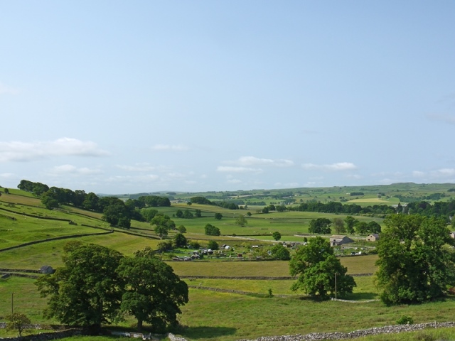
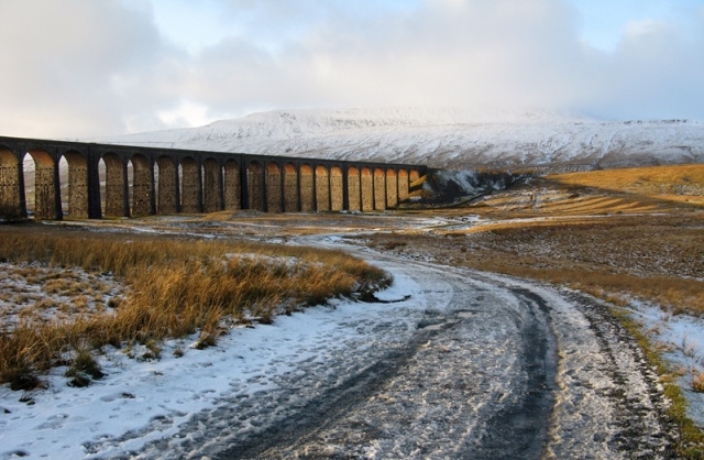
A circular walk in the spectacular Yorkshire Dales 

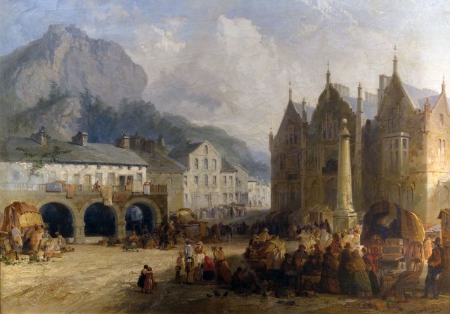
The small market town of Settle nestles in the beautiful North Yorkshire countryside. Follow the story of Settle’s development by exploring the town and its surroundings.

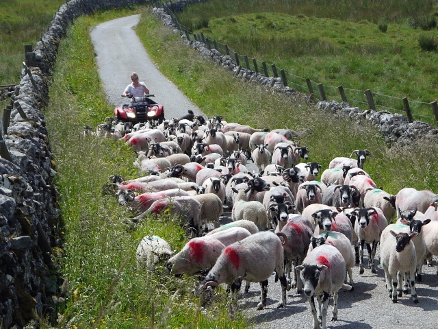
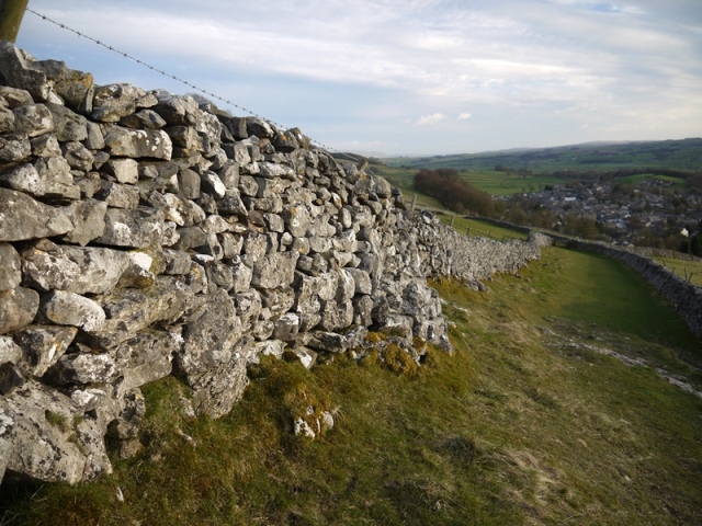
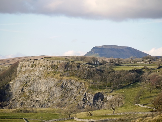
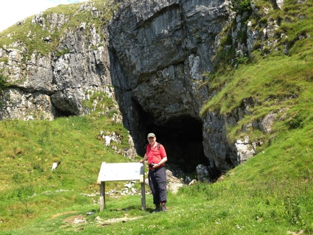
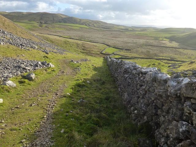
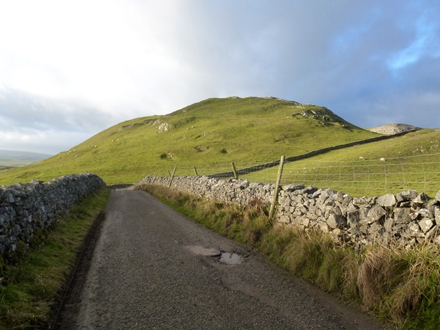
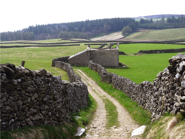
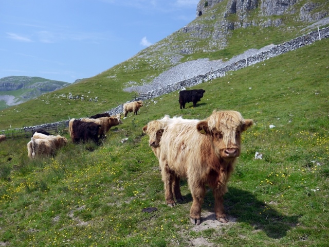
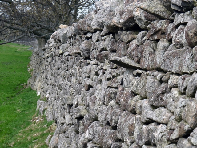
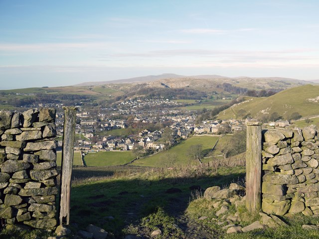
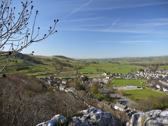
Begin by climbing to the Craven Fault to a former coral reef and a cave used by prehistoric animals. Discover how the stone walls that cover the hillsides reveal centuries of different farming methods.

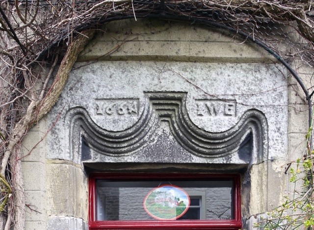
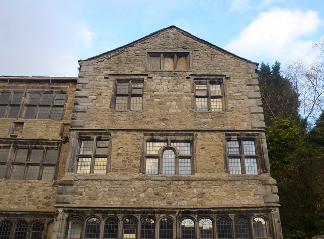
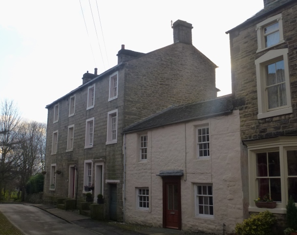
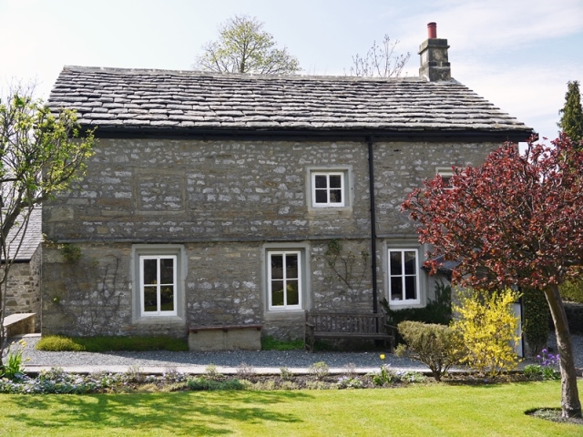
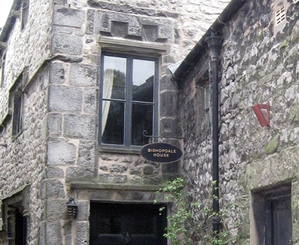
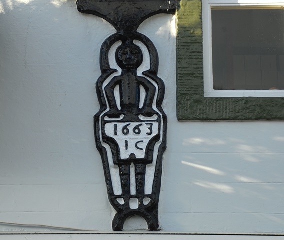
Then explore the medieval town and its oldest buildings. Find out how yeoman farmers became wealthy and how the Quakers gained commercial control of Settle. 

This walk by local historian Tony Stephens was a Highly Commended entry in a competition to create a walk, organised by the RGS-IBG in collaboration with the University of the Third Age.

Follow the walk by clicking on the map pins
or downloading the guides below

Location: Settle, Craven, North Yorkshire
Start and finish point: Settle Market Place, BD24 9EF
Keep an eye out for: A naked man in the High Street!

Settle walk credits

Thanks to - 

Tony Stephens for creating the walk, providing photos and the audio commentary

Mike Jackson for helping edit and develop of the walk

Tom Lord for generous advice and photos about the Victoria Cave finds 

Caroline Millar for editing the walk materials 

Rory Walsh for additional photos 

Alan King and Mike Clarke for kind permission to use archive material from their collections

Chris Stephens for kind hospitality and the photo of the Ribblehead Viaduct

Prehistoric remains found in Victoria Cave near Settle include the bones of hippos, rhinos, mammoths and elephants