1 Welcome to Faversham

Welcome to Faversham. This market town in North east Kent has a rich and surprising history from its origins as an ancient sea port to its role as a brewery town and the home of the English explosives industry.

Faversham is located at the head of a winding sea creek which links to the Rive Swale, the Medway and The Thames in one direction and to the North Sea and the English Channel in the other. This favourable location has been a central feature in the town’s past and current prosperity. The surrounding countryside has provided rich, nutrient heavy soils to grow the apples, cherries, hops and other local produce that has helped this town to prosper.

Industries such as brewing, boat building, brick production and explosives have capitalised upon the local landscape since the 1500s. Access to the sea from the sheltered creeks using specialised vessels such as Thames sailing barges allowed the town to maximise its national and foreign markets.

These industries and the town’s relative isolation (situated as it is just off the A2) have enabled Faversham to retain a distinctive identity. This walk explores how this settlement has used its creekside location and fertile landscape to become one of the towns that built Britain.


Boats in Faversham Creek
Caroline Millar © RGS-IGB Discovering Britain 
Directions

From the station cross over the road to the Railway Hotel and look back at the station building.

2 Yellow brick station

The four station platforms might seem extravagant for a town with a population of just 19,000 people but Faversham is where the line from London divides (for Dover and Ramsgate). This junction’s importance is reflected in the station which is much larger than many other stations in Kent.

The late Victorian architecture provides us with some clues as to how this small Kentish town grew and prospered. Take a look at the yellow brick walls. These distinctive bricks were made here in Faversham. The town’s brickfields were vital to meet the needs of Britain’s massive expansion during the Industrial Revolution. We’ll find out more about this later on the walk.

A (now defunct) branch line once carried apples, cherries, hops and other produce from the rich North Kent fruit belt down to the nearby creek where it could be transported by barges to London markets such as Spitalfields. As you will discover on this walk, Faversham’s creekside location helped make this small market town a vital transport hub on the Kent coast.


Faversham railway station, 1890
© The Faversham Society
Directions

Walk down Preston Street until you reach the junction with Stone Street. Stop where the pavement changes to red bricks.

3 Time travel

A walk down Preston Street is like taking a trip back through time. The station end was built during the Victorian period and the brick-built residential houses and other buildings such as the Railway Hotel were developed after the railway’s arrival in 1858.

In contrast the lower end of the street is sprinkled with late medieval timber buildings testifying to an earlier period of the town’s history.

The Fleur de Lis Heritage Centre at Number 10 to 13 Preston Street is a good example. This superb timber-fronted building dates from around 1600 and is characteristic of the local Kentish architecture. The colour washed plaster and jettied first floors are visual clues to the age of the building. This one and others were carefully designed as statements of prosperity by the town’s wealthier inhabitants. Once you recognise this distinctive building style, you’ll spot many more on your walk around the town. Behind these houses once lay orchards and market gardens. Today in their place are modern car parks and roadways.

If you have time do pop into the Fleur De Lis Heritage Centre where you’ll find a fascinating local museum.


Ghost signs on Preston Street
Caroline Millar © RGS-IGB Discovering Britain 
Directions

Continue along Preston Street then turn left at the end into Market Street. Make your way to the building in the Market Place with the clock tower.

4 Medieval mayhem

Here in the Market Place the first thing you notice is the elegant Guildhall. The open arcade underneath was designed for medieval market traders to sell their wares and it still performs the same function today.

Today’s market, held three times a week, dates from the early medieval period when noisy fishmongers advertised their locally-caught fish and shellfish. Fish including oysters from the local waters of the River Swale were an important staple of the medieval diet. Oysters provided one of the only sources of protein for Faversham’s peasants who otherwise lived mostly on a diet of boiled vegetable pottage. Farmers also brought their fruit and vegetables to this market to sell.

Walk past the arcade to the other side of the Guildhall from where you’ll get a good perspective on the geography of the town. Notice that the road slopes downhill from here. The town’s most important buildings were purposely built on higher ground. This helped avoid flooding and the unwanted attentions of insects like mosquitoes which inhabited the low-lying creeks and marshes. During the seventeenth and eighteenth centuries marsh fever, later known as malaria, took the lives of many Faversham residents, particularly farm workers and sailors working along the coast. The last recorded local case of malaria 1915.


The Guildhall, Market Place
Caroline Millar © RGS-IGB Discovering Britain 
Directions

With the Guildhall behind you cross the cobbled pavement (noting the attractive red water pump) and walk down Court Street. Stop when you reach Number 17, the white building decorated with hop flowers.

5 Fancy a brew?

 Look at the facade of no 17, and in particular the doorway adorned with hop flowers.  This is a clue as to what went on inside. This building was the headquarters of one of Faversham’s breweries, Shepherd Neame.

Now walk a little further down Court Street until you reach a massive redbrick buildins on the opposite side of the street. This was the site of another Faversham brewery, Rigdens.

Brewing was, and still is, one of Faversham’s most important industries and Shepherd Neame and Rigdens were the town’s two competing breweries. The two breweries buildings have had different fates. Number 17 is still used as part of the offices for the Shepherd Neame brewery but the old Rigdens complex has been converted into a supermarket and luxury apartments. Fortunately the attractive red brick factory buildings and chimneys have been retained.


Shepherd Neame lantern
Caroline Millar © RGS-IGB Discovering Britain 
Directions

Continue straight along Court Street, which becomes Abbey Street. Turn right into Church Street and stop just to the right of the church entrance.

6 Built to inspire

This is St Mary of Charity, the parish church of Faversham. This site was chosen for a church due to its closeness to a natural spring which rose along the eastern boundary wall of the churchyard. Faversham contains a number of springs due to the underlying geology of the area. Pagans regarded springs as sacred and Christian churches were often located on earlier Pagan sites.

The tall crown spire of St Mary of Charity, added in the eighteenth century, dominates the skyline for miles around. The size of this church was a sign to visiting traders and sailors that Faversham was a town of signifcance. It also served as a landmark for sailors navigating the twisting creek.

Do go into the church via the main entrance to the right. See if you can find the medieval painted column in the north transept with its decorated mural. This mural depicts ten events in the Life of Our Lord and was illustrated rather than written to educate a largely illiterate medieval population of farming and fishing folk. Also look for the blue Georgian frieze in the nave. Both show the surprising wealth that a small town like Faversham had to spend on this imposing building.

These decorative features would have been partially paid for by tithes whcih were a form of tax levied by local churches on their parishioners. People were forced to pay ten per cent of their earnings; the word ‘tithe’ is Old English for ‘tenth’. Payment could be made in cash, work or agricultural produce like grain.

Before you leave take the time to look around the churchyard. Notice how many of the gravestones are covered by lichen due to the salty sea air. Also see if you can spot the graves of local people drowned or lost at sea.


St Mary of Charity Church
Caroline Millar © RGS-IGB Discovering Britain 
Directions

When you are ready leave the church by the main entrance. Turn right and walk back round the building to follow a path downhill through the churchyard. Pass the black and white timbered old grammar school on the left. Cross over the entrance to the new school and turn right down a footpath marked with a National Cycle Network symbol. Stop after about 150 metres by a gap in the hedge with a good view of two large sloping roofed barns on the left.

7 A king's abbey

In the 1100s England experienced a period of violence and instability referred to as the Anarchy. War and famine stalked the land but for Faversham it was a time of prosperity. The reigning monarch, King Stephen, and his queen Matilda established an abbey here in 1148. You are now standing in what was once part of the abbey’s grounds.

This site was chosen because of its location on higher ground with a nearby water source, the Cooksditch stream, which we will see later. This small stream provided water and a source of power for the abbey.

The Abbey would have been a large complex by medieval standards. It owned almost eight acres of land between St Mary’s Church and Faversham Creek. If you look straight ahead you might be able to see the masts of boats moored in the creek. They should give you some idea of the extent of the medieval abbey’s grounds.

Until its dissolution in 1538 the abbey had a huge influence. You can get a sense of its size and power from the two large barns across the field. These were built in the 1400s to store tithes and other local agricultural produce such as barley and wool. All these goods had to cross the monks’ land to be taxed. Tenant farmers paid tithes and rents on church land, while oystermen used a fishery granted to the abbey by King Stephen.

Today it is hard to visualise the impressive building which once stood here. We know that parts of the abbey were built in stone imported from Caen in France. There is little trace of the main abbey today because the stones were transported back to France in 1541.


Site of Faversham Abbey
Caroline Millar © RGS-IGB Discovering Britain 
Directions

Continue along the path for a short distance until you reach a slight bump in the path with a brick wall to the right and a green fence to the left. Look down into the weed-filled stream.

8 Water of life

This slight bump in the path marks the Cooksditch Stream, a small tributary of Faversham Creek. In the past it was quite a substantial river that powered a water mill to grind the abbey’s grain. Today the Cooksditch is less than a trickle.

Faversham was fortunate in that a number of aquifers were available which could supply fresh water to different parts of the town. An aquifer is an underground layer of permeable rock from which groundwater can be extracted. However, these aquifers are a limited resource and nowadays water is supplemented from other sources in Kent such as the Bewl Water Reservoir almost 30 miles away.

Faversham only received a piped water supply in 1864. Before this the town depended on private wells and communal water pumps such as the red pump you saw earlier at the Guildhall.

Even after the introduction of piped water a clean water supply was still an issue. Between 1893 and 1906 over a hundred people in Faversham were diagnosed with the water-borne disease typhoid. Typhoid was an accepted risk during the nineteenth century. It affected all walks of life even royalty: Prince Albert died of it in 1861.


The site of the Cooksditch stream
Caroline Millar © RGS-IGB Discovering Britain 
Directions

Follow the path until you emerge at a residential road called Gordon Square. Continue ahead into Gordon Road and up along the unpaved road. When you emerge at another residential road turn left past a row of red brick bungalows on the left. Follow the road round to the right keeping the red and yellow brick buildings of the old sewage works on your left. Follow the left bend past a white house and continue on the path with fields on both sides. Stop when you come to a group of low wooden buildings behind a fence on the left.

9 Blast!

This scattering of flimsy buildings set amongst scrubby hawthorn trees doesn’t look like much but it is actually the last working remnant of Faversham’s surpisingly dangerous past.

Between 1874 and 1919 Faversham was the centre of Britain’s explosives industry. With six factories in operation it was a dangerous place to be! This is the Cardox factory which opened in 1924. Though it might look derelict it’s still in operation today. They no longer produce high explosives but still manufacture blasting cartridges for the quarrying industry.

The wooden buildings which you can see across the site, were deliberately designed with light walls and felt roofs to minimise any accidents. Each building is well separated from the next to stop explosions and fires from spreading. In the event of an explosion each building would be easy to repair.

We’ll see further traces of Faversham’s explosives industry a little later on the walk when we visit the last traces of the Home Works gunpowder site. The Chart Gunpowder Mill, the oldest of its kind in the world, has been restored by the Faversham Society. A Gunpowder Trail, available free of charge from the Fleur de Lis Heritage Centre, pinpoints these and other surviving features.


Site of the gunpowder works
Caroline Millar © RGS-IGB Discovering Britain 
Directions

Continue to the concrete building ahead and stop by the Southern Water sign.

10 Flushed away

This is Faversham sewage works deliberately located on the outskirts of the town. Treatment of waste is carried out here before being discharged into the creek.

The smell of sewage would have been a familiar feature of any settlement in medieval England. In Faversham the sights and smells of human and animal waste ran constantly down its streets and into the creek.

The situation would have been made worse by ideas about hygiene. People in the medieval era washed their hands and faces but bathing was associated with opening the pores of the body to disease so people scrubbed their clothes rather than their bodies!

Attitudes began to change following the Black Death in 1348. One of the worst pandemics in history, the Black Death, also known as the plague, killed almost half of Britain’s population. Its ravages led to a gradual change in the approach to sanitation.

If sanitation was a problem in medieval Faversham, consider the challenge of treating sewage for the town’s current population of 19,000. Southern Water estimates that the average domestic consumption of water in Faversham at about 170 litres per person per day - equivalent to 850 small cups of tea.


Faversham's original sewage works
Caroline Millar © RGS-IGB Discovering Britain 
Directions

Turn right at three concrete bollards and follow the path around the sewage works. When you meet a line of trees on the left hand side, follow the path to a wooden footbridge. Cross the footbridge then turn left and follow the path along a watery ditch. Stop where the ditch meets the creek.

11 Changing coastline

We have now reached Faversham Creek, the focus of this walk’s story. Today it’s rather a windswept and lonely place but in the early medieval period, Thorne Quay, as this area was known, was a perfectly-positioned, sheltered anchorage just off the River Swale.

Until 1588 Thorne Quay was Faversham’s main dock. Try and picture the scene here in the sixteenth century. The wooden quays bustling with activity as oysters, wool, barley and cherries were loaded into vessels for transport towards London or the continent. Imports included wine from France and soft wood from the Baltics for furniture.

But marine environments never remain static. Look at the accompanying map of the creek from about 500 AD to see how the coastline has changed. The abbey’s monks drained several acres of land for agriculture. Meanwhile soil deposited over time by the Westbrook and Cooksditch streams caused Thorne Quay to silt up making it impossible for larger ships to dock here.

These geographical problems were solved by a fortunate bequest from one of Faversham’s local merchants, Henry Hatch. Following his death he donated money to the town to improve the docking facilities further along the creek. These improvements were essential for Faversham to compete as a viable port.


The flatlands of Faversham Creek
Caroline Millar © RGS-IGB Discovering Britain 
Directions

Turn left and walk along the creek until you reach some wooden stumps to the right half submerged in the water.

12 Marsh of mystery

Look across the the creek and see if you can spot a small body of water beyond. This was a natural bend in the river which was abandoned in 1843 when the creek was artificially straightened. The bends were
removed to help bigger ships navigate the creek and improve access to Faversham’s port at a time when Britain was rapidly becoming industrialised.

Across the creek you should be able to make out Ham Farm. The white house and surrounding barns make an isolated set of dwellings in a stark landscape.

The surrounding land has been augmented over the centuries by both coastal deposition (silting up) and drainage by both the abbey’s monks and local farmers. The flat landscape is now the home of hardy Kentish sheep who have adapted to this reclaimed marsh.

To the right of Ham Farm you might be able to make out a white clapboard building surrounded by trees. This is The Shipwright Arms at Hollow Shore. Located at the head of two creeks this 300 year old pub was once the haunt of Dutch smugglers.

As we have already heard, all products shipped through Faversham were subject to taxation by the abbey. High customs duties became a source of annoyance to the town’s traders so smuggling goods without declaring them to customs officers became very lucrative.

Guided by the tall church spire Dutch smugglers quietly landed their cargoes of brandy, gin or tea here before proceeding to Faversham to load up with local oysters to take home.

In Faversham and elsewhere along the North Kent coast large profits could be made by selling the smuggled goods onwards to London. Smugglers, landlords, merchants and even customs officers would receive their cut from the illegal trade.

In 1724 the writer Daniel Defoe commented on the prevalence of smuggling in Faversham: in the arts of that wicked trade the people hereabouts are arrived at such a proficiency that they are grown monstrous rich.

Defoe wasn’t the only writer to conjure up this landscape. Charles Dickens, who spent part of his childhood on the Kent marshes, could easily be describing Faversham Creek and its surrounding marshlands in the following extract taken from his novel, Great Expectations:

The dark flat wilderness, intersected with dykes and mounds and gates, with scattered cattle feeding on it...the low leaden line of the river...and the distant savage lair from which the wind was rushing, the sea...”

Today the marsh is still a stark but beautiful landscape. You can imagine on a misty, rainy day the escaped convict Abel Magwitch desperately seeking refuge in the drainage ditches of this flat landscape...


The Shipwrights Arms
© The Faversham Society
Directions

Continue along the path until you reach a footbridge. Cross the narrow footbridge over Chambers Dock.

13 Prosperous port

You have just crossed over the Cooksditch stream again. You may remember crossing it earlier at the site of the old Abbey where it was barely a trickle. Here where it flows into the creek the Cooksditch was
deliberately deepened and widened to provide berths for barges delivering materials to the nearby Abbey brickfield.

This area was once known as Iron Wharf. It was originally built to exploit a prospective iron ore deposit. The iron ore scheme proved unsuccessful but the name stuck.

In 1860 the wharf was connected to the new main railway line. This period marked the high point of Faversham’s prosperity as a port. Vessels thronged Iron Wharf bringing cargo including pit props for the
Kentish coalfields.

For example in 1893 nearly ten thousand vessels unloaded almost 450,000 tonnes of cargo at the various docks in the Creek. This cargo could then be taken to other parts of Kent in an early form of roll-on / roll-off shipping. This thriving era of the port ended with the closure of the railway in 1960. Today the quay caters mainly for leisure boats.

As you walk through the boatyard look out for the many different and interesting vessels in various states of repair. You might also spot some of the abandoned goods wagons (numbered 20-30) that were left stranded here when the railway track was dismantled.


Boat resting at Chambers Dock
Caroline Millar © RGS-IGB Discovering Britain 
Directions

Continue through the boatyard following signs for the Saxon Shore Way. Stop in front of the large brick warehouse labelled United Fertiliser Co. Ltd.

14 Pearls of the sea

The large brick building looming ahead at the water’s edge is called Oyster Bay House. It was originally built to store locally-grown Kentish hops before being transported up the creek to the Hop Exchange near London Bridge.

Despite its name this warehouse has nothing to do with oysters but Faversham did have a great oyster trade. The meeting point of fresh and salt water in the sandy River Swale made Faversham an ideal place for
oyster beds. The Faversham Oyster Fishery Company has existed since 1180 and is England’s oldest company.

The company was set up as a collective with profits shared out between the members. To become a ‘freeman’ of the company prospective oystermen had to serve a seven year apprenticeship, learning the skills associated with navigating the creek and the Swale estuary.

We heard earlier that oysters were one of the few sources of protein for the poor in the medieval period. Later on in the eighteenth century the writer Samuel Johnson could even afford to feed them to his cat Hodge! In the early decades of the twentieth century the Faversham fishery became exhausted; a victim of pollution, overfishing and bad weather. Today the oyster industry has moved down the Kent coast to Whitstable and oysters are considered an expensive delicacy.


Oyster Bay House
Caroline Millar © RGS-IGB Discovering Britain 
Directions

Continue across the arched bridge and round the corner. Stop by the lock.

15 Shipbuilding

We have now entered Standard Quay which became the town’s main unloading quay from the sixteenth century onwards after Thorne Quay silted up and became too shallow. The late medieval warehouses
on the left were built using timber from the old Abbey.

Standard Quay was developed after a bequest by local merchant, Henry Hatch. After his death his donation of £2,400 (equivalent to £900,000 today) provided the town authorities with the money to improve the quay. These improvements enabled much bigger ships, some up to 60 tonnes, to unload much nearer the town.

Standard Quay was once a busy, thriving and commercially successful port, echoing to the shouts of dockworkers and sailors loading and unloading their produce. Deep from the holds of their ships emerged herring, salt and the Dutch beer favoured by the inhabitants of medieval Faversham. Wool from the surrounding marsh and other sheep-rearing areas of Kent was transported in such quantities that in the late seventeenth century Faversham exported more than any other port in England.

Standard Quay survived the disappearance of its previous masters at the abbey but it could not survive the rationalisation of the UK’s port system. From the 1960s containerisation made it more economical to use the bigger ports such as Tilbury. Faversham limped on until the last cargo vessel left in 1990.

On the opposite bank to Standard Quay is a good example of regeneration. The modern apartments built along the Creek were once a part of Pollock’s shipyard. By the time it closed in 1970 Pollock’s had built over 1,200 boats, some of them up to 1,000 tonnes. The launch of one of their boats was a major event in the town. Spectators gathered here on Standard Quay to watch the big splash as huge concrete boats like the Moliette were launched into the Creek.

Unfortunately Pollock’s specialist tugs, steamers and coastal tankers could no longer compete in the global market. By 1970 foreign shipyards in Sweden and Japan could build larger vessels with greater profit margins. The replacement apartments and industrial estate built on the grounds of the old shipyard demonstrate the common use of brownfield sites in the twenty-first century.

At the time of creating this walk Standard Quay was one of the few places in the UK where traditional maritime crafts including boat building, repair and restoration are still carried out. But current regeneration plans intend to develop the area for shops and restaurants.


Ships at Standard Quay
© The Faversham Society
Directions

Emerge from Standard Quay at the far end and walk up into Abbey Street, passing The Anchor pub on the left. Turn right and walk down Abbey Street noticing the large numbers of late medieval houses with their characteristic gabled roofs and first floor overhangs. Continue along this street before turning right at Creekside Arts to walk down Quay Lane till you reach a distinctive black and white timber building.

16 Hazards of war

This distinctive timber-framed building is another link to Faversham’s maritime history. Faversham was a member of the Cinque Ports which were set up around 1050 by King Edward the Confessor to help protect Britain’s south coast from overseas invaders. Its members were granted privileges by the Crown in return for providing naval ships to the monarch in time of war.

The original five or ‘cinque’ ports were Hastings, Romney, Hythe, Sandwich and Dover. By the thirteenth century these original five ports struggled to fulfil their defensive role so other ports were allowed to join.

Once Faversham became a Cinque Port the town’s residents had certain exemptions from taxation and royal regulation. This degree of local autonomy enabled the town to develop its economy as a thriving port.

Today this royal heritage is commemorated by this wooden warehouse which was built here in 1475 to provide storage for local merchants who didn’t have warehouses of their own. The building’s name recalls the ship which the town contributed to the fleet fighting the Spanish Armada in 1588. Nowadays, T S Hazard is used as a meeting place by the Sea Scouts.


Faversham skyline
Caroline Millar © RGS-IGB Discovering Britain 
Directions

Continue past the brewery buildings on the left. Turn right and cross the swing bridge over the creek. Find a safe place to stand and look back across at the brewery complex.

17 Britain's oldest brewer

The unique aromas of hops and malt should give you a clue to what takes place here. This is Shepherd Neame, England’s oldest brewery and a major Faversham employer.

As we heard earlier poor sanitation meant that drinking water was dangerous and there were many cases of waterborne disease. So the whole population from sailors to children drank ale. Though a potent brew it was still a safer alternative to drinking water.

During the medieval period beer was traditionally brewed by women known as alewives. They would use local water, yeast and barley which could be easily sourced in this part of Kent. However this beer had to be drunk quickly as it contained no preservatives. To extend the life of the beer, hop flowers were initially imported from the continent. Local brewers soon found the rich alluvial soils around Faversham meant
that hops could be grown locally which allowed the brewing industry to thrive here.

The first evidence of brewing in Faversham was by William Castlock, a brother of the last abbot. He set up the town’s first brewery in 1550 on this site. Chalk-filtered water, ideal for brewing, could be obtained from a nearby aquifer before being mixed with malted barley, yeast and hops. The finished product could then be transported from the quays you can see to the left of the T S Hazard building.

The coming of the railway in the nineteenth century helped distribute the beer across Southeast England. Today Shepherd Neame is the largest independent brewery in England with over 900 employees. The company has survived rationalisation and competition unlike its rival Rigdens. However even Shepherd Neame must take account of globalisation by producing Asian beers under licence for the British market.


Brewery store house
Caroline Millar © RGS-IGB Discovering Britain 
Directions

With the creek on your right walk along the road called Front Brents past the row of small terraced houses. When you reach a grassy area on the left, take the path which cuts across the grass. Stop at the end of this track next to the yellow clapperboard house.

18 Brickworks

Take a look at the church over the road and notice the two local pubs nearby - The Anchor on the creek behind you and Brents Tavern further along the road. These are the last few traces of a local industry that built Britain.

The hill directly across the road was once a brickfield and its community of brick workers were served by the two pubs and church that you can still see today.

Geologically Faversham’s is underlain by chalk covered by a layer of brick earth. This material, deposited by glaciers 10,000 years ago, forms a key ingredient used in forming bricks. The brick earth was mixed with waste from London’s chimneys which was transported down the Thames by sailing barge and into the creek. This ash and dust was combined with the scraped brick earth to form a self-firing brick suitable for the building trade. An excellent example of Victorian recycling!

The finished bricks were loaded onto Thames barges back to London. If you’re lucky you might get to see one of these distinctive red-sailed barges in the Creek. Thames Barges were designed to sail in just a few feet of water. Their flat bottoms allowed them to sit on the mud in low tide then sail off at high tide. Their large sails could be lowered to pass under bridges, allowing them to sail right into the heart of the capital.

The first brickfield was established in 1843 and soon brick making became one of Faversham’s biggest industries. In its heyday there were as many as fourteen brickfields in operation. In effect Faversham was responsible for the huge expansion of London in the Victorian era. Faversham’s distinctive yellow bricks built the viaduct that carried the train line from London Bridge to Deptford. Four hundred men laid 100,000 bricks a day supplied from those same sailing barges which started their journey from Faversham Creek.


One of Faversham's Victorian brickfields
© The Faversham Society
Directions

Retrace your steps back across the grassy area to Front Brents. Turn right and walk back along the creek to meet the road. Cross the road and follow a footpath sign along the creek. At the end of the footpath emerge left onto a road then take the next left along a rougher path between two brick walls. Stop by the metal gates on the left with a view of the creek.

19 The head of the creek

We’ve now reached the head of Faversham Creek, the waterway we’ve been following for most of this walk. Fresh water flows into the creek from Stonebridge Pond, currently hidden from view by the high redbrick wall behind you. We’ll visit the pond later and find out about its role in local industry.

The concrete rectangle shape built out into the creek is what’s left of Ordnance Wharf which was built around 1759.

Here deliveries of sulphur and saltpetre arrived and cargoes of gunpowder were loaded onto boats capable of navigating the creek. By the end of the nineteenth century this area would have been bustling with industry.

Faversham’s gas works once stood where the modern supermarket building is now. Wharves were built here to unload shiploads of coal to power the works. The red-brick L-shaped building sitting on the Creek is the only surviving relic of the gasworks. This is the Purifier building and dates from around 1850. It was derelict for years but at the time of creating this walk it was being redeveloped as a centre for maritime crafts and apprenticeships to train the next generation of shipwrights.


Head of the creek
Caroline Millar © RGS-IGB Discovering Britain 
Directions

Retrace your steps back to the road and turn left up Brents Hill. As the road bends keep an eye out on the left for views of the allotments at Stonebridge Pond. Stop on Davington Hill by the distinctive carved stone doorway of Davington Priory.

20 Village on a hill

We are now in Davington. In the medieval era this part of Faversham would have been a separate settlement. The barrier of the creek to the north and the Westbrook stream to the south would have separated this small village from the bigger town.

In fact up to 150 years ago Davington was a small parish of just 150 people but urban expansion has now swallowed up this small village so that it is now a suburb of West Faversham.

Davington is dominated by the priory and church that were established here in 1153. This stone doorway was once a gateway into Davington Priory. To the south the land owned by the priory rose towards Canterbury and the North Downs. This area of rich tillage was covered by forest interspersed with farmland.

In later centuries the area around Faversham played an important part in both the explosive and the brick industry as we have already heard. The high walls that you have passed on your ascent to Davington were built to provide security for the gunpowder works that once operated from here. The white clapperboard houses at the bottom of the hill were built as homes for gunpowder officials.

On your way to the next stop take a peek through the gaps in the wall on the left into Stonebridge allotments. It’s hard to picture it now but this tranquil scene of allotments and duck ponds was once the site of Faversham’s first gunpowder works.


Davington Priory door
Caroline Millar © RGS-IGB Discovering Britain 
Directions

Descend the hill passing the Priory and white clapperboard houses. Enter a small green with a display board at Stonebridge Pond. Look over the pond and its islands.

21 The big bang

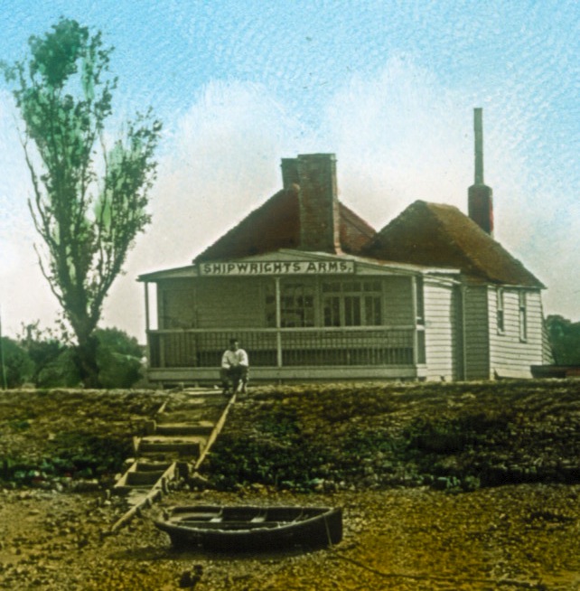
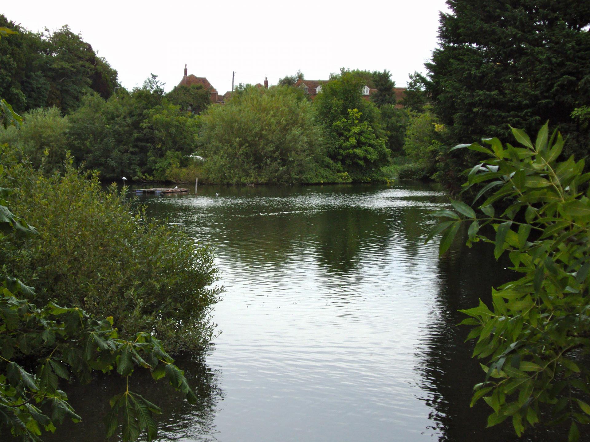
Looking at this calm scene of ducks and allotment gardening at Stonebridge Pond it is hard to believe that this was the cradle of the explosives industry in Britain.

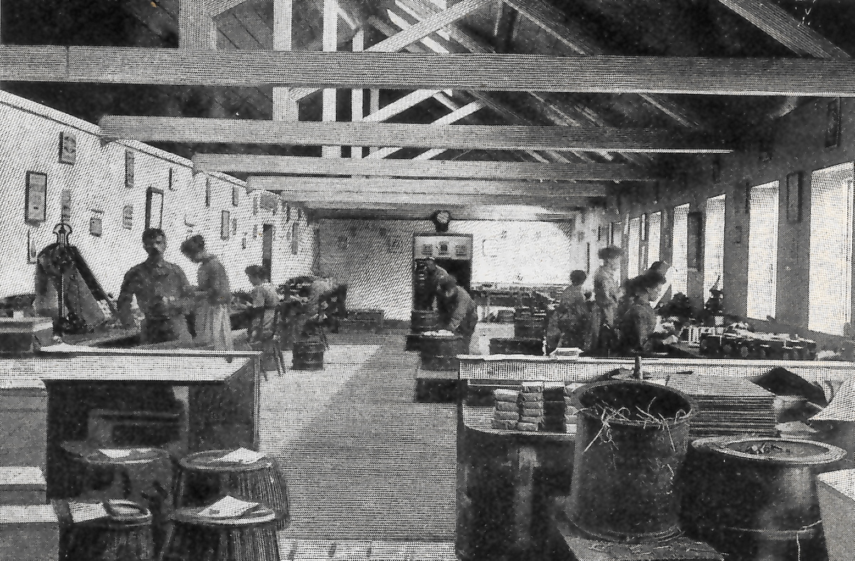
Gunpowder had been invented by the Chinese but its use in warfare was developed by European countries from the sixteenth century. In Britain this new explosive powder helped to expand the Empire through warfare and building works.

There were a number of geographical reasons why Faversham became an ideal site. The willow beds to the west of here at Bysing Wood grew renewable alder. Alder was converted into charcoal, an essential ingredient for gunpoweder manufacture. Another vital ingredient, sulphur, could be extracted from copperas found in nearby Tankerton. Later on sulphur was imported by ship from a volcano in Sicily. The third component, saltpetre, was sourced from urea-soaked straw beds that were transported by ship at the eastern end of the creek.

Crucially, Faversham also had a good source of water to power the mill to grind and blend these ingredients into explosives. The Westbrook stream emerged at a spring two miles outside Faversham and flowed down into Stonebridge Pond here. The islands you can see within the pond were part of an internal transport network built to convey barrels of gunpowder to Ordnance
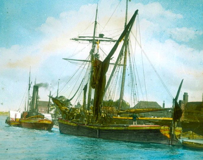
Quay. Ships would then transport the gunpowder along the creek and out via the Medway and Thames to the royal arsenals at Chatham or the Tower of London. You could even argue that the Battle of Trafalgar in 1805 was won in the gunpowder factories of Faversham. Nelson’s ship, HMS Victory, carried 35 tonnes of powder to supply its cannon.

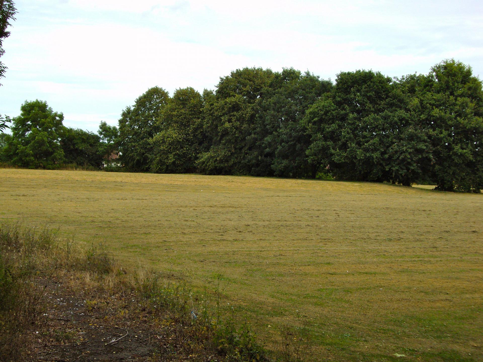
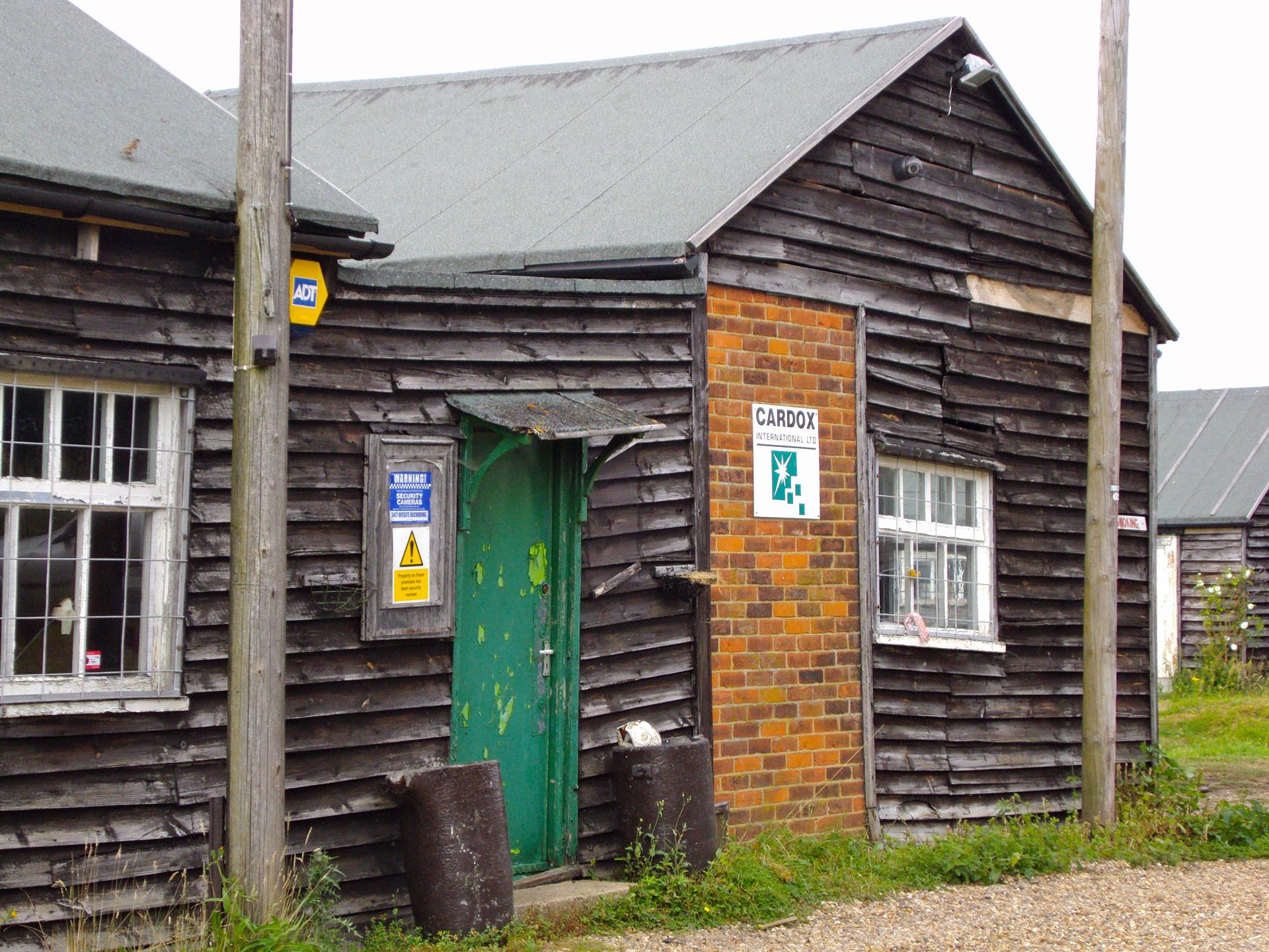
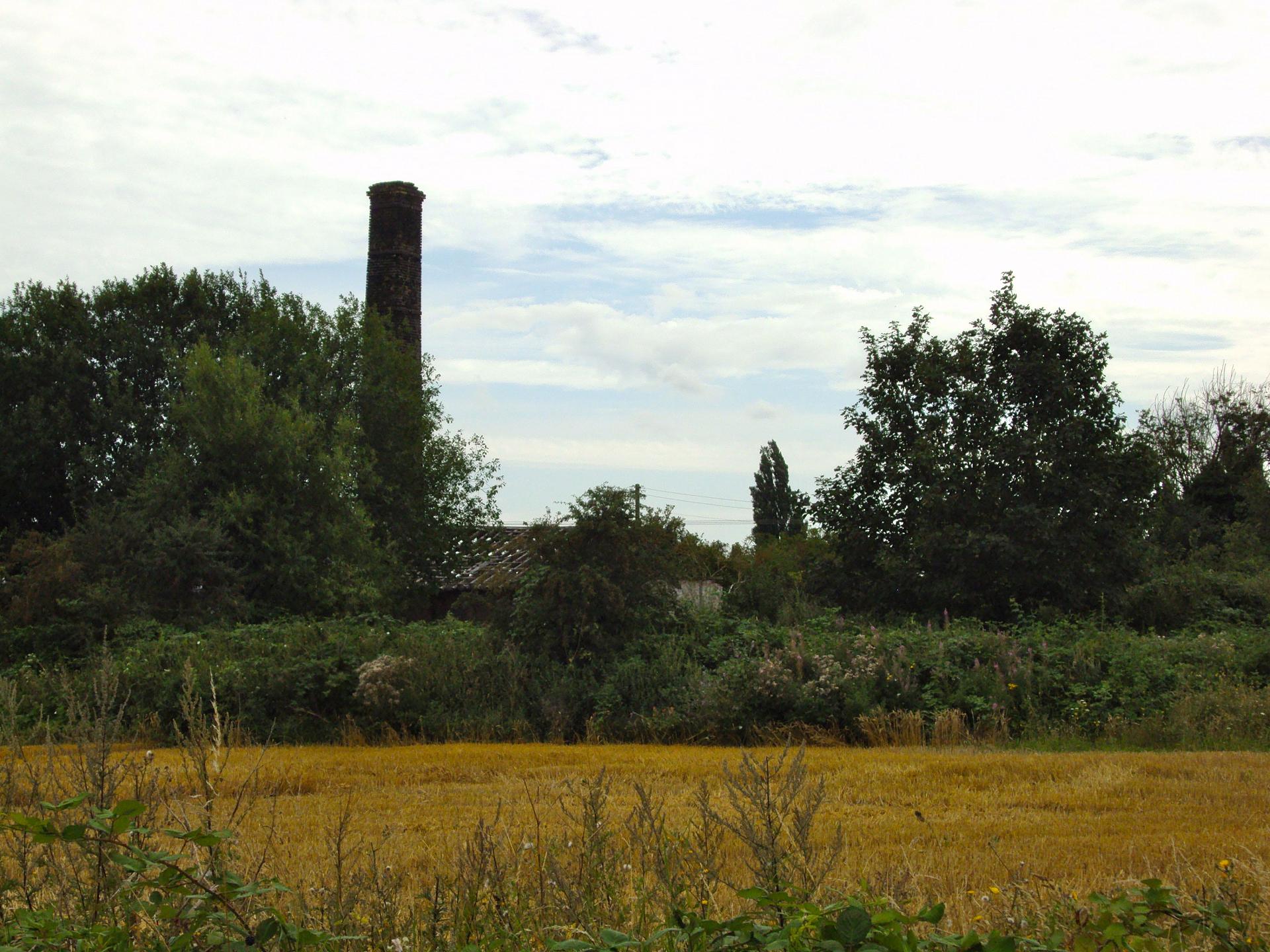
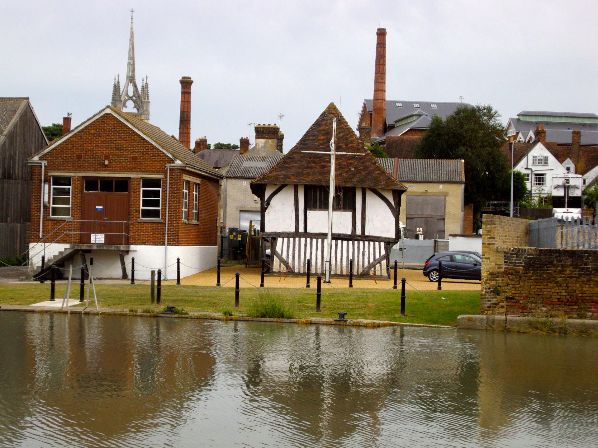
This entire area has of course been changed greatly since by human intervention. The islands are used today as allotments but you can see some of the last remaining evidence of Faversham’s gunpowder industry further up the river at Chart Mill which we’ll visit shortly.


Stonebridge Pond
Caroline Millar © RGS-IGB Discovering Britain 
Directions

Leave Stonebridge Pond and turn left past a long cream building which was once the armoury of the gunpowder works. Carefully cross the road to enter the woodside path where signposted Chart Mills. Follow the riverside path until you reach a grassy area on the right.

22 A dangerous business

As you walk along the riverside path note that the medieval era houses to the left and the modern houses to the right mask the outline of a V-shaped river valley.

As we have already heard the Westbrook river was the site of one of Faversham’s biggest gunpowder works. The sheltering trees and the valley’s shape helped to dissipate any blasts that occurred over the river’s course. As at the Cardox factory we saw earlier the buildings were separated from each other with light roofs that would blow off without causing extensive damage to other parts of the site.

Notice that the river narrows in places. This is intentional: the narrow channels allowed special leather-lined punts to transport gunpowder between the different parts of the works. To minimise the risk of accidental explosion each punt could only transport one barrel of gunpowder.

Workers clothes and tools were specially-designed to prevent sparks that would accidently detonate the gunpowder. For example, clothes had wooden not metal buttons and women were forbidden to wear metal hair pins. All workers wore enamel badges that could be used to identify their bodies in the event of an explosion. Despite these safety measures accidents did happen. The worst example was the explosion at Uplees three miles outside Faversham in 1916 which killed 116 people. The power of this explosion was so great that windows across the Thames 18 miles away at Southend in Essex were shattered by the blast.


Sign to Chart Gunpowder Mill
Caroline Millar © RGS-IGB Discovering Britain 
Directions

Continue on the footpath with the river on your left until you emerge into a close called Nobel Court. You now have two options.

To visit the Chart Gunpowder Mill works, cross over the residential road and continue along the river for another few yards.

If you prefer to go straight to the next stop, cross the road ahead and walk slightly left keeping the river on your right. Find a small alleyway uphill marked with a no cycling sign. Walk through the blue gates to emerge at a main road. Turn left and walk up the hill then turn left again at the large red brick almshouses on Tanners Street. Descend Tanners Street and stop when you reach The Three Tuns pub.

23 Tales of Tanners Street

This quiet spot was originally the centre of town. Faversham was originally established here at the lower end of Tanners Street as this was the shallowest crossing point of the Westbrook stream.

This flat, low ground at the bottom of the hill was once a busy port. It’s hard to picture it now but boats were once able to sail up to here from the creek. Picture the scene eight hundred years ago in the early medieval period....

Perhaps you can imagine a drover crossing the ford over the Westbrook at Stonebridge Pond on his way to sell his sheep at the Guildhall market. Trudging along the unpaved road he would hope to get a good price for his small flock. His mutton might perhaps feed the sailors who had just disembarked from their shallow bottomed boat at the lower end of Tanners Street hungry for some fresh meat. The sheep skins will end up at what is today’s Number 37 just up the hill where a tannery once used local tree tannin and river water to make leather. Tanning was a noxious trade relegated to the outskirts of town or a poor area.

Fast forward to the nineteenth century and you might see the foreman millwright leave his brick house at Number 51 Tanners Street to work at Chart Mills gunpowder factory further up the valley. Business has been good since the war with Napoleon. Both the army and the Royal Navy require up to 80 fifty pound barrels every week sent by ship from Faversham Creek to the Chatham magazines.

Now imagine its 1898 and a thirsty brick worker has finished a hard week at the brick field where he has produced thousands of bricks for dispatch from Iron Quay. He has just been paid by his employer and will drop into the fifteenth century Bull at the bottom of Tanners Street for a pint of Rigdens porter.


Inside one of Faversham's gunpowder works
© The Faversham Society
Directions

Walk a little further down the hill and stop outside The Bull Inn.

24 Forging a future

We have now reached the end of our creekside walk on which we have seen the impact of four things - boats, bangs, beer and bricks - on the development of the town.

Faversham’s geographical location at the sheltered head of a creek with access to the capital in one direction and the continent in another helped this town to flourish and prosper into one of the jewels in the Kent
crown.

Humans have used this landscape to harnessing its natural power and make the best use of the location.

We have discovered how and why industries like boatbuilding, brickmaking, brewing and explosives flourished in Faversham. The creek was a critical factor both as a source of power and as a vital waterway for bringing in supplies and taking finished goods away.

Change has been a constant theme running through our story. Like many other towns in Britain Faversham has had to adapt to maintain a foothold in the globalised world. The town’s economic focus has shifted from a manufacturing to a service industry and the surviving ‘boats, bangs, bricks and beer’ industries now tend to specialise in niche markets. Faversham is trying to balance its strong heritage with twenty-first century concerns.

I hope you’ve enjoyed discovering Faversham on this walk and feel you know a little bit more about this creekside town that helped build Britain.


The Bull Inn, 1895
© The Faversham Society
Directions

From here you can turn right into West Street to return to Faversham town centre. To return to the train station, at the end of West Street continue into Market Street. Then turn right into Preston Street. The train station is to the left at the end of Preston Street

Boats, bangs, bricks and beer

Abandoned boats along the creek © Caroline Millar

Faversham walk

A walk along Faversham Creek, Kent

Water, water everywhere...You’re never far from water on this creekside amble through the historic market town of Faversham.

- Discover how this small settlement grew thanks to its location at the head of a navigable creek

- Find out why industries like boatbuilding, brewing, brickmaking and even gunpowder all flourished here

This gentle walk takes you on a journey of discovery from Faversham's grand Victorian station, through the medieval centre of town to encounter the bleak beauty of the Kent marshes immortalised in Dickens' Great Expectations.

Follow the walk by clicking on the map pins
or downloading the guides below

Location: Faversham, Kent
Start point: Faversham railway station, Station Road, ME13 8EB
Finish point: The Bull Inn, Tanners Street, ME13 7JL

Faversham walk credits

Thanks to - 

Raymond Molony FRGS for creating the walk and providing photos

Caroline Millar for producing the walk materials 

Arthur Percival MBE for his expertise, without whom this walk would not be possible!

Pam Maclean of the Faversham Society for a terrific tour of the Fleur de Lis Museum and assisting with the walk

Catriona Cuthbert at St Mary of Charity Church, Roger Ely and the Faversham Creek Trust and Duncan Harrington for their assistance 

Other photos reproduced under Creative Commons Licenses

"If only I could see Faversham and the charming country lanes again." Marlon Brando