
Humans helped to shape most of Britain’s landscapes, and nowhere is this more evident than in the Fens.
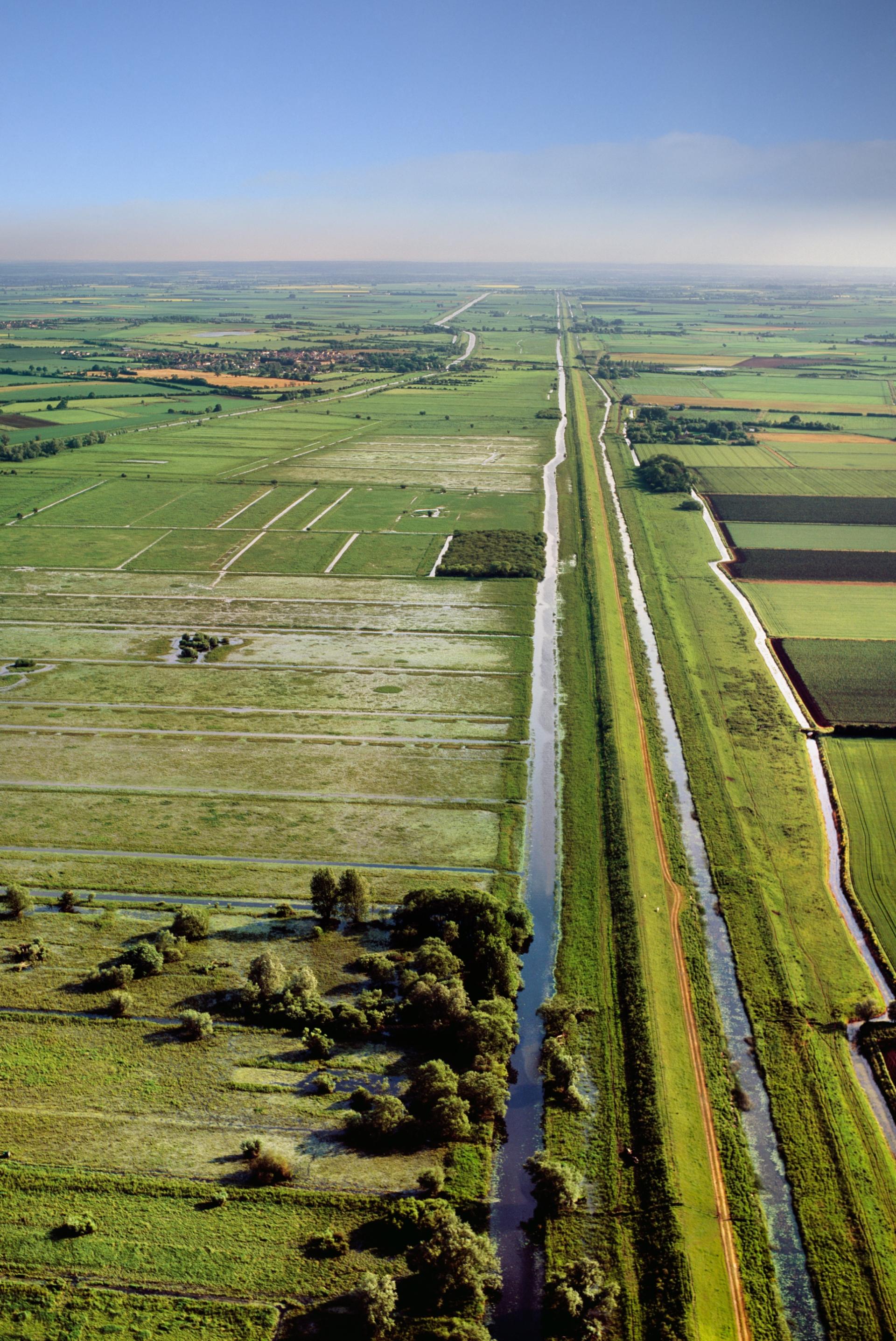
The fertile, flat fenlands of East Anglia hold nearly half of England’s most productive, Grade 1 farmland. But only because 286 pumping stations work day and night to pump water out of this low-lying landscape into 6,000 km of human-made dykes and drainage rivers.
If left to its natural state, the Fenlands would revert back to peat bogs and swamps, punctuated by small islands of land rising from the surrounding marshes and rivers. It is of course the peats, when drained, that make this such a rich agricultural area and the vegetable-growing centre of Britain.
The peat though is fragile and topsoil is easily blown away by the wind when dry. And if sea level rises much more, the Fens, currently protected by coastal defences, would be under threat of flooding once more. Much of the Fens already lies below the highest tide levels.
History of the Fens
The Dutch were employed in some of the earliest attempts to drain the Fens, bringing technology they had developed at home for similar environments. The first large scale attempt was in the 1630s, masterminded by the Duke of Bedford.
Needless to say, local people were up in arms because their livelihoods in the wetland would be destroyed. However, these early works were simply too efficient. The peat shrank so much on being drained that the land fell below the level of the rivers and was re-flooded. Most of the drainage was, in fact, done in the late 18th and early 19th centuries, still with much local opposition and sabotage.
From 1820, the 700 windmills that pumped the water out were replaced with powerful steam engines, securing the success of the drainage. Today diesel and electric pumps are used with a capacity to pump the equivalent of 16,500 Olympic - sized swimming pools of water a day.
The Fens have shrunk dramatically since drainage began. The top of Holme Fen post marks the original land surface before drainage; it is now 4 m above the surface. Holme Fen is 3 m below sea level - the lowest point in Britain.
Some people find the flatness of the Fens tedious but for others the history of human toil, the wide open landscapes and the big skies make East Anglia one of Britain’s most evocative landscapes.