St Anns Allotments comprises three sites: Hungerhill Gardens, Stonepit Coppice and Gorsey Close Gardens.
It’s a green oasis amidst an inner city residential area a few miles outside the city centre of Nottingham.
This walk tells the fascinating story of this site that has been cultivated for the last 700 years, and its transformation from church land to Victorian leisure gardens, and from working-class allotments into a community resource.
The walk has been created by Mo Cooper who is the Heritage Officer of the charity that manages the site. It draws on research carried out by volunteers and oral history collected from people who have used the site.
By discovering how this landscape has changed over time in its ownership, management and use we will find out more about the social history of Nottingham. Hidden in the avenues and plots, hedgerows and plant life is a remarkable history.
The walk starts and finishes at the Visitor Centre located at the Ransom Road entrance to Hungerhill Gardens. The route is only one mile long but it is a hilly site with some short steep slopes.
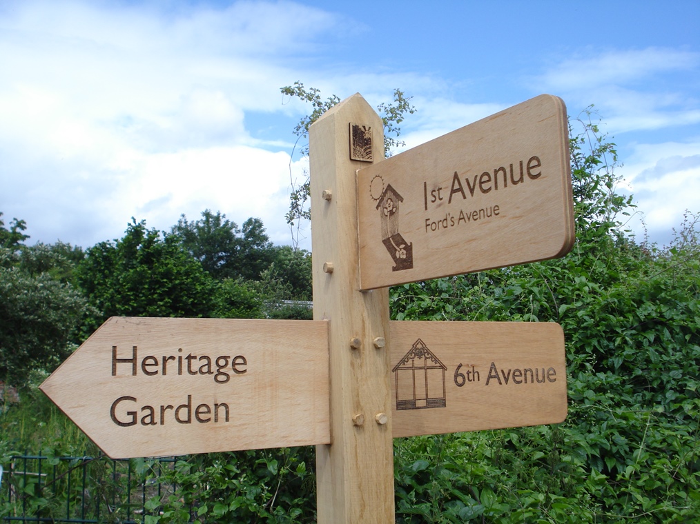
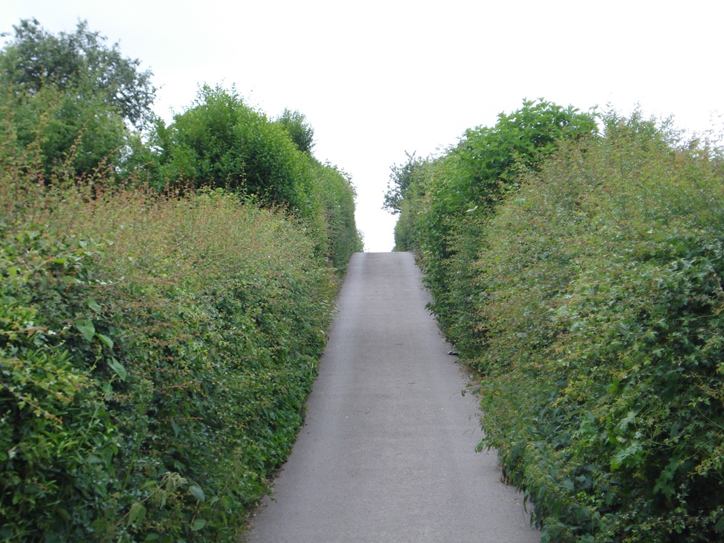
The site is bisected by 14 avenues (some paved, others grassy); off these are gated pathways which in turn lead to individual gated gardens.
Please keep to the route and do not enter any gardens unless indicated in the directions. The main avenues are used by vehicles and you should give way to them where possible.
We’re only two miles from the centre of Nottingham in the inner city neighbourhood of St Anns but this was once far outside the city.
The land here was originally owned by St Mary’s Church and the hospital of St John. It was called Hungerhills. Hungerhill is actually quite a common place name in England but there are several possible meanings.
One explanation is that the name comes from the Old English word ‘hungor’ which meant ‘sparse’ and was used to refer to bleak and bare hills.
Another possibility is that it derives from ‘hangar’ which meant a meadow or grass plot usually by the side of a road.
A third derivation is from Hangra Hills which means hillside of clay. In fact this area is underlain by heavy clay soils and on some old maps it is called Clay Fields.
Whatever the exact origin of the name, this land was of quite poor quality and not good for farming.
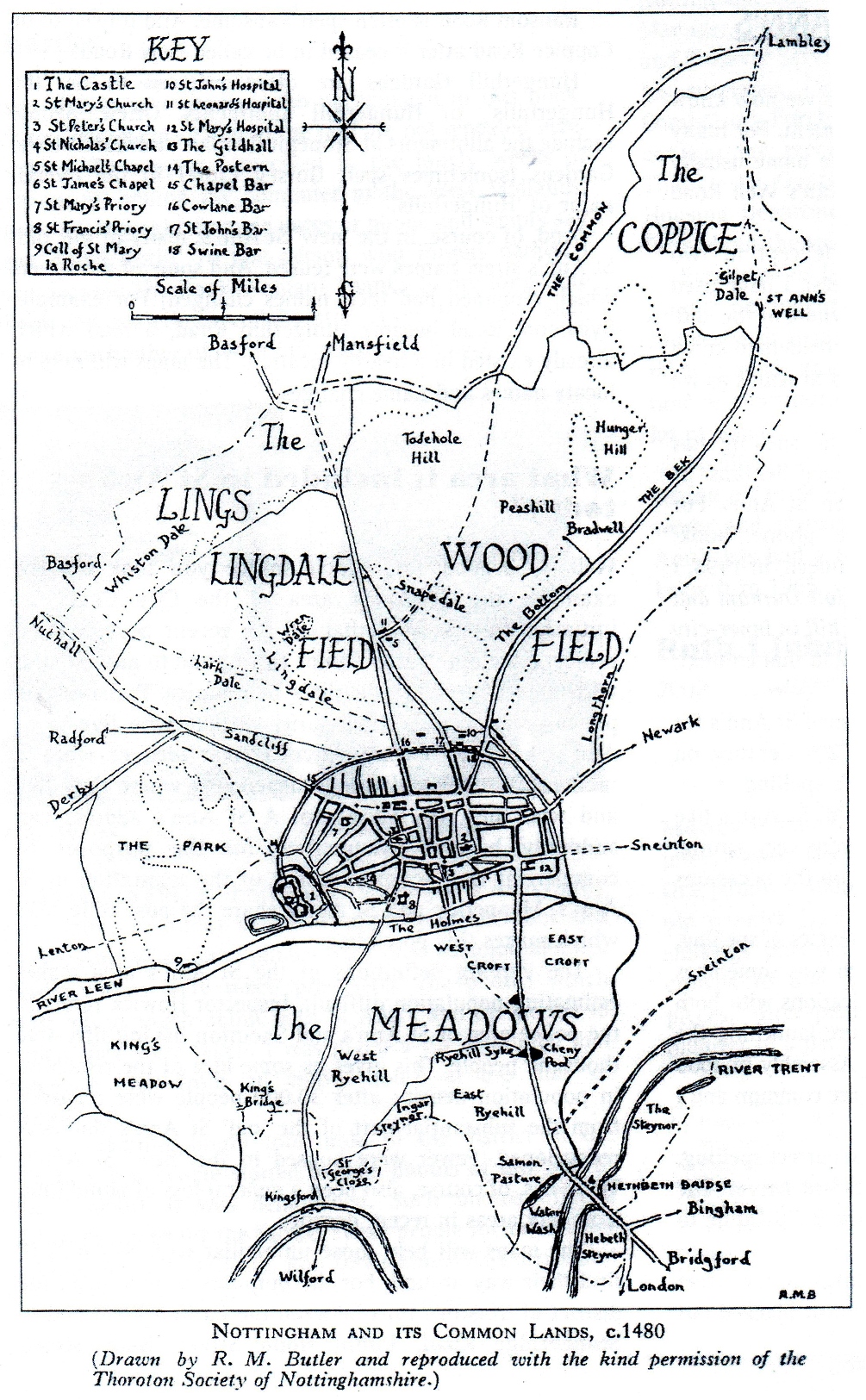
On a map of 1609 – the earliest known map of the town – it is shown as an area of common ground covered by gorse and bracken providing rough pasture for animals.
Map of Nottingham and its common lands c1480
By kind permission of the Thoroton Soc of Notts
Directions
Turn left out of the gates of the Visitor Centre and left along 13th Avenue. After about 100 metres there is a turning for 7th Avenue on the right. Stop at this junction.
3 Burgess Parts
In the sixteenth century King Henry VIII had a major disagreement with the Catholic Church. He seized land belonging to churches, monasteries and religious bodies.
The land here at Hungerhills which belonged to St Mary’s Church and St John’s Hospital was acquired by the Crown. In 1551 Henry’s son, Edward VI, gave this land on Hungerhills and The Coppice to the Corporation of Nottingham.
In 1605 there are records that the Nottingham Corporation leased two or three acre plots to 30 Burgesses (or freemen) of the town. The plots were referred to as Burgess Parts.
This leasing of land raised £15 per year for the Corporation, some of which was used to maintain a crossing over the River Trent to the south of the town.
7th Avenue here – a small hedged pathway – is one of the original pathways dating back to this period in the early seventeenth century. Other original avenues include 13th Avenue (where you are standing) and Ford’s Avenue at the top of the hill that we shall walk along later. These would have formed boundaries between the Burgess Parts.
Records from 1659 show average rent charges had increased to two pounds per year but the Burgesses complained about these high rents particularly since their crops were being damaged by local deer entering the gardens.
The allotment of land to Burgesses continued over the next 250 years. The Corporation tried to maximise their returns on the land and imposed strict criteria as to how it should be managed. For example, the Corporation required that “for every Ton of Hay taken from the Land two Tons of good Manure shall be taken and spread upon the Land the same year”. This attention to the agricultural quality of the land meant that this area of the clayfields improved its fertility over the centuries.
Continue along 13th Avenue for about 100 metres. Just after passing the end of 5th Avenue on the right, look for Garden B385/6 on the left. Stop by the gate.
4 Curative waters
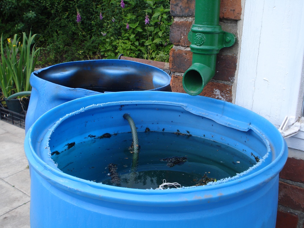
Burgesses and later gardeners required access to water to grow their crops. This mainly came from the Rag Beck, a stream flowing through the site including the bottom of Garden B385/6 and the other plots on this side of the avenue.
The Beck was said to have medicinal properties and could cure poor eyesight. In fact, the name Rag may have come from the rags used to cleanse the eyes or the rags left at the Beck after a cure.
It is possible that some of the stories have been confused with nearby St Ann’s Well which was a place of pilgrimage but the Beck definitely had a curative reputation in its own right.
Mrs Edwards remembered: “My dad had a garden by the Rag Beck. When it was hot in the summer we’d go and paddle in it. My youngest brother had very bad eyesight – he used to get ulcers on them – and mum used to send up bottles of spring water and bathe his eyes – and it cured him.”
While the Beck provided water to the Burgesses, the need for irrigation has been a continual problem for gardeners. Over the centuries people have used natural springs on the site, others have dug wells and some have built complex water collection systems to catch rain water.
As time moved on “an agitation sprang up among the tenants for getting corporation water-pipe laid along the avenues”. Once mains water was piped to the site, people began to use taps rather than springs for irrigating crops. The wells also fell into disuse and the Rag Beck was used for growing water cress.
By the late twentieth century the allotment site was the third highest consumer of water in the city because the mains water was not metered so gardeners often left sprinklers on overnight with little attempt to conserve water. The old system also had many underground leaks.
In 2010 a bore hole was sunk which now provides water to the gardens. There are taps along all the main avenues for allotment holders to use.
Meanwhile the current tenants in Garden B385/6 have repaired the ancient Rag Beck and improved its flow.
They have also excavated a round Victorian well at least 14 feet deep. If you would like to see the Beck and well you can arrange access to this garden at the Visitor Centre.
Retrace your steps a short distance along 13th Avenue to the bottom of 5th Avenue (also known as Gentleman’s Avenue) which rises up the hill to the left. Stop at the junction.
5 No Burgess Parts shall be occupied as gardens
Nottingham’s population grew from about 11,000 people in 1750 to around 50,000 by 1831, mainly due to the influx of traders and workers attracted by the expanding textile industry.
Most people lived within the old town walls but this meant that affluent merchants lived in houses alongside the growing slums of the poor. It was the same in many of the other industrial towns and cities in Britain.
The class of wealthy traders was cash-rich but land-poor with no room in the crowded town for gardens. Here the Burgesses saw an opportunity. They subdivided their Parts into small gardens and let them out for £1 a year.
The Corporation who leased the land to the Burgesses was not too happy with the subletting and complained that these new gardeners were not closing gates.
They feared losing control of the land but the new phenomenon of detached gardens or ‘guinea gardens’ had taken off.
By 1832 what began as 30 Burgess Parts had become as many as 400 cultivated gardens. Look across the lower slopes of the site. The 1960s housing estate on the opposite hillside was also part of the site and was covered in detached gardens.
We are at the bottom of an avenue nicknamed ‘Gentleman’s Avenue’. It was the most popular area to rent gardens in the nineteenth century because the gardens were on relatively flat land and south-facing. It is one of only two paths on the site with a name, the other being Ford’s Avenue which we will walk along soon. All the other avenues on the site are numbered 1st to 14th which is believed to be the original Victorian labelling system.
Begin to walk up 5th Avenue. After about 100 metres the path levels off and the tarmac surface ends. Shortly after this look for Garden B305 on the right and stop outside the gate.
6 Detached gardens
The detached gardens movement offered wealthy Victorians the opportunity to enjoy three Ps – peace, pleasure and privacy – within easy reach of their homes in the city.
The high hedges and gated access provided the Victorian gentleman and his family with privacy to entertain or spend time in pleasant surroundings.
Some paid others to garden for them so they could sit back and just enjoy their gardens.
These new Victorian gardeners spent lavishly on their garden plants and structures.
Lawns were important, as were large flower beds. Some people liked to grow vegetables while many built substantial glasshouses to grow grapes, peaches and other soft fruits.
However, the most important status symbol was a summerhouse, as described in this book of 1840:
“Every garden has its summerhouse; and these are of all scales and grades, from the erection of a few tub-staves, with an attempt to train a pumpkin or a wild hop over it, to substantial brick houses with glass windows, good cellars for the deposit of choice wines, a kitchen, and all necessary apparatus, and a good pump to supply them with water.”
The grandest summerhouses cost the equivalent of about £20,000 in today’s money. Garden B305 here has an original summerhouse which has listed status with English Heritage.
It is a one-roomed wooden hut that was sold as a flat pack from the late nineteenth century. You can visit it by prior arrangement – just ask at the Visitor Centre.
As you continue on the walk keep your eyes open over the hedgerows for other summerhouses. There is a tremendous variety around the site – different shapes and sizes, building materials and states of repair.
Not only do we have the old Victorian summerhouses but people continue to build structures on their plots. There are strawbale buildings, mud huts and other temporary constructions. See what you can spot.
Continue along 5th Avenue and stop outside Garden B288 on the left.
7 A change of tenants
At the last few stops we found out how the concept of the detached gardens arose because wealthy people did not have gardens attached to their houses in the town. This began to change in the middle of the nineteenth century.
In 1845 legislation was passed that allowed areas of land outside the town walls to be developed. Wealthy people bought plots of land and built villas including in the Park area near the Castle.
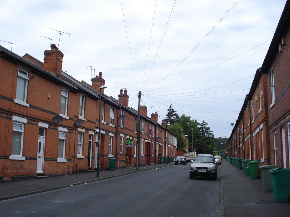
Meanwhile the area of St Anns here was developed for working class housing and industry. The rows of terraced houses to the south of the allotment site are the remnants of this development.
The wealthy with their new villas no longer needed detached gardens here at Hungerhills so they were taken on by the people who had moved into the new housing in St Anns.
Allotments were seen as a way for working men to feed their families. Victorians believed that gardening would have a positive effect on the morale and self-respect of the poor and keep people out of the pubs.
Nottinghamshire rose expert, Reverend Hole, wrote that gardening would “get a man, out of the dram and beer shops into the fresh pure air; interest him in the marvellous works of his God, instead of in the deformities of vice; give him an occupation which will add to his health and the comfort of his family, instead of destroying both; then build Revealed upon Natural Religion and hope to see that man a Christian.”
Continue along 5th Avenue for a short distance. Stop outside Garden B283 on the left.
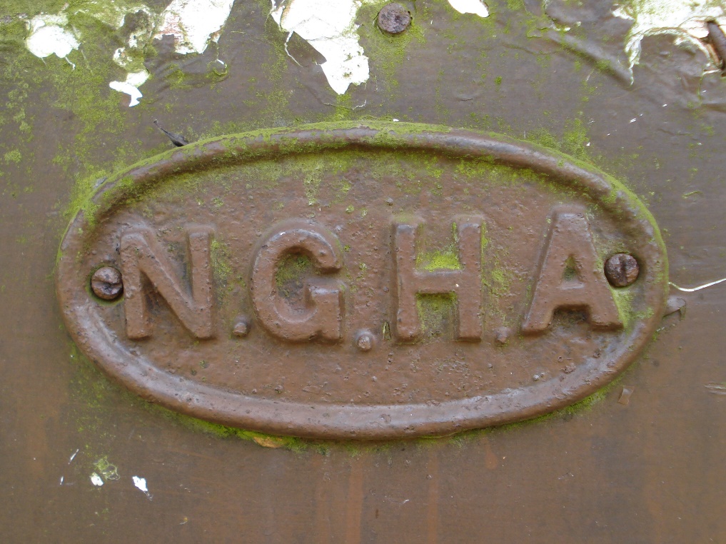
8 Nottingham Garden Holders Association
Here on the gate of Garden B283 is an old sign with the letters NGHA; you will see others around the site too. It stands for Nottingham Garden Holders Association. Allotment tenants could choose to become members of this organisation which was established in 1883.
Members were active in campaigning for improvements to the allotments. For example, at one point garden holders on New Coppice Road asked for a rent reduction because their gardens were “the coldest on the Hungerhills as we receive North east winds which blow down from the valley”.
Another example of their activism was when the Council tried to sell some of the gardens for housing. The Association organised a successful petition. Today the Association runs a small shop on Ford’s Avenue selling seeds and compost to its members.
Continue along 5th Avenue a little further to the T junction. Turn right along 1st Avenue (also known as Ford’s Avenue). Follow the surfaced road past the car park which is signposted to the Heritage Garden. Just after the car park, look for the first metal gate on the right which has a sign for Heritage Display Garden. Stop by this gate.
9 High hedges
This turning off Ford’s Avenue into a narrow pathway between hedgerows demonstrates the standard layout of the gardens.
Gardeners would access their plots via a central avenue then into a gated pathway.
Each pathway would lead to six to ten individual private gardens.
You will have noticed that every garden is surrounded by high hedges which are “welltrimmed... not to exceed five feet” according to the rules.
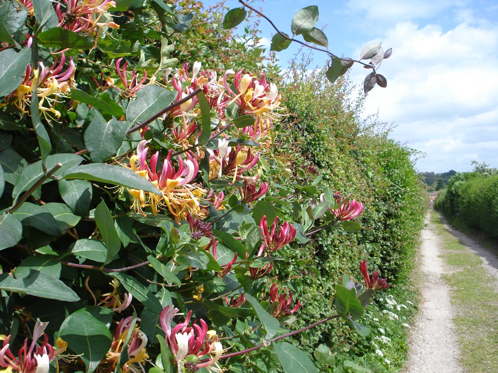
There are an incredible 32 miles of hedgerows on this 75 acre site! These hedgerows are an important part of the site’s history and tell a tale of both continuity and change. You might think that the hedgerows all look the same but look a little closer and you will find that they are made of different species. Depending on the season you might see privet, hawthorn, hops, sycamore and vines.
Another of the plants found in the hedgerows is the Duke of Argyll’s Tea Tree (Lycium barbarum) which is more commonly known as the goji berry.
It has a small purple flower and bright orange berries on a slim, thin silver-leafed trailing plant. The flowers appear in June or early July and the berries in late July. So if you are here at one of those times do have a look in the hedgerows for them.
It was introduced into the UK in the 1730s by the Third Duke of Argyll who thought he was importing a tea plant from China.
Unfortunately the plant didn’t produce tea but bore the berries that are now considered a ‘super food’ providing a tonic for blood circulation, livers and eyes. The root also helps with blood pressure and reduces fever.
Under the hedges there are nettles, wild strawberries, comfrey, wild garlic and bedding plants planted by gardeners.
Go through the metal gate signposted Heritage Display Garden and walk along the pathway. After a short distance it bears round to the right. At the end is the gate to Garden 319 which has a sign Oliver’s Heritage Display Garden. Go through the gate into the garden. Walk straight along the path and stop at the information post for the Victorian Garden which is just to the right of the glasshouse.
10 Glasshouses and summerhouses
This is Oliver’s Garden, named after Tom Oliver, the last tenant who worked this plot (we’ll find out more about him later). It is now a display garden which leads the visitor though the development of the gardens over the last two centuries.
We’re going to look at three different sections, starting with The Victorian Garden, which includes some interesting structures and garden layout planting regimes.
The substantial glasshouse was probably made in the nineteenth century by Foster and Pearson, a garden building manufacturer based in Beeston on the outskirts of the city.
Although it is an original Victorian structure it was previously located elsewhere and only erected in this garden in the early twentieth century, having been salvaged from a private garden or local school. It is a three-quarter span peach house used to grow peaches, figs, grapes and other tender fruit and vegetables. It was originally heated by a Beeston boiler and a system of pipes running under wooden platforms. It was refurbished in 2010.
As well as the glasshouse there is a summerhouse which has two rooms. The first room is shown on the 1882 OS map so is an original Victorian building. It has been set out as a small Victorian museum reflecting the way it would have been used in the mid-nineteenth century. The second room was added in the mid-twentieth century. The black and red checked tiles on the floor suggest that this was a glass house adjoining the summerhouse. The tiles were placed directly onto the clay ground floor but over time many have cracked with the seasons.
To the front of the summerhouse is a paved area that would have been used to take tea or entertain visitors. A small lawn has been reintroduced to show how gardens were also a leisure space. To the side of the glasshouse is a formal gardening area which demonstrates how the garden would have been planted in the nineteenth century. Do go into the glasshouse and the summerhouse and have a good look round.
Remain in the display garden but move to the adjacent section which has an apple tree, plots and beds, and an information post for the Dig for Victory Garden.
11 Feeding the nation
This is the Dig for Victory garden which shows how the allotments and private gardens were used during the Second World War. Before the war Britain imported over 55 million tons of food a year, much of it from Canada and the USA.
After the outbreak of war merchant vessels carrying provisions to Britain became targets for German U-boats and food imports were under threat. At the same time the merchant ships were needed for the transport of troops and weapons to the theatres of war.
The government encouraged everyone to contribute to the war effort by growing food. This became known as the ‘Dig for Victory’ campaign. An advertisement for fertilisers and garden chemicals said:
“Digging for victory is one of the most satisfying ways of hitting back at the Hun. What is more, it can be one of the most effective. For we all know that success on the Food Front is going to be a decisive factor in the outcome of the war.”
Here in Nottingham display allotments were set up in local parks showing people how to grow high-yielding varieties and convert their grass lawns into vegetable beds. The government also prescribed what should be grown. For example, the growth of cucumbers in heated glasshouses was banned as they had a low nutritional value but tomato growing was encouraged. It was important that gardening should produce maximum nutritional benefit to feed the nation.
Market gardeners were forced to turn most of their glasshouses over to vegetable cultivation for half the year. Long-established and beautiful gardens had to be sacrificed for the war effort. Famous Nottingham rose grower, Harry Wheatcroft, had to get rid of his ‘luxury crops’:
“We put the plough through a field of some hundred thousand trees – a heart-breaking job. We tore from the glasshouses the bushes that were to give us blooms for the spring flower shows, and so made room for the more urgent bodily needs of the nation.”
Remain in the display garden but move to the adjacent section which has four planted beds and an information post for the 21st Century Garden.
12 Gardening today
This twenty-first century garden demonstrates how many of the allotments are used today. There is a growing trend away from ‘conquering nature’ through the use of pesticides to working with nature.
Some people practice ‘companion gardening’ which means planting different crops near to each other to help with nutrient uptake, pest control and pollination.
Some sections are left uncultivated as wildlife areas to attract a range of species of flower, insects, birds and small mammals.
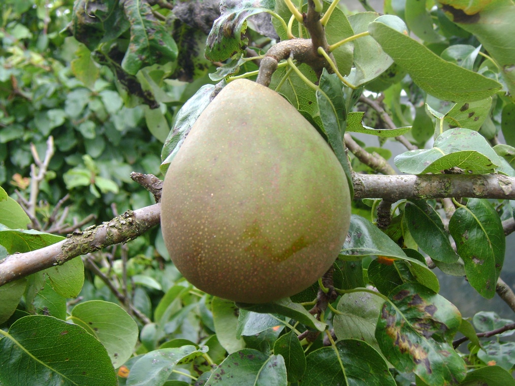
Now look through the gap in the hedge to the plot below which is planted as an orchard. Ever since the Burgesses set up their gardens here there has been a long history of growing fruit trees on this site.
Over the centuries many different varieties have been propagated. In fact 140 different varieties of apple and nearly 50 varieties of pear have been identified growing on the site.
As you continue on the walk look out for more large fruit trees. Some of them are over 70 years old and many are descendants of previous trees.
From here you can also see a wonderful panorama. This is one of the highest points on the site and you can see much of the city of Nottingham and its surrounding areas. The interpretation board will help you to know what you are looking at.
When you are ready, leave the display garden and retrace your steps along the pathway to the metal gate. Turn right and walk along 1st Avenue. Immediately after passing the gate of Garden B144 on the left is the brick end wall of a summerhouse. Stop here.
13 Living on the plot
You probably associate allotments with something that people do on a Sunday afternoon so you may be very surprised to find out that some people have lived here over the centuries – both legally and illegally.
According to the 1861 census 205 people lived here in the gardens, an increase of 112 on the previous census ten years earlier. Other documents show more people living on the site but they were not noted on the census. The census notes the occupations of the residents; these included a cordwainer (shoe repairer), staymaker (maker of corsets), Chelsea pensioner, cigar maker and coach body builder.
People had different reasons for living at the gardens. Some tenants lived in relative comfort. For example Mr Weisbloom, a tailor originally from Germany, rented 3 plots from at least 1871 to 1911. From the 1882 map we can see that his gardens contained various brick and glass houses. His sister-in-law also lived here – she is listed as a housekeeper in the census. This home must have been a haven of peace and tranquility.
In contrast there was a Mr Morris who lived in a small two storey house with his wife and six children. He was a paviour (a path layer). Their home would have been crowded and we can speculate that he lived on the site as a temporary measure, perhaps due to difficult financial times.
Meanwhile a Mr Argill moved to a four room cottage in his garden off Ford’s Avenue during a period of economic depression in the late 1800s. When he was unable to pay his rent, he was faced with losing his garden and home. He murdered his family and attempted suicide.
The oldest recorded resident of the site was William Morrell, a 100 year old shoemaker recorded on the census of 1901. It is thought that many more families moved to the allotments after the First World War as a result of economic depression and the lack of suitable homes for returning service people. These were not legal tenancies and in the 1930s the Council evicted most tenants.
Today allotment law clearly prohibits gardeners from living on the allotments but you can see from some of the summerhouses around the site that they are well loved by their tenants.
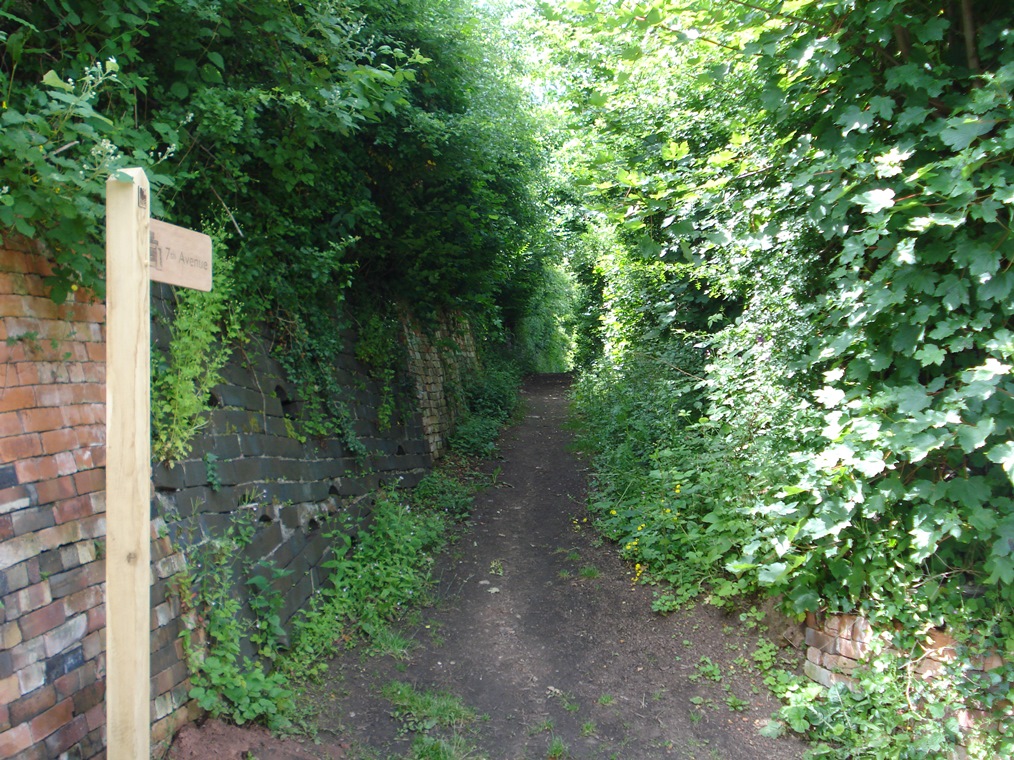
Carry on along 1st Avenue, which bends round to the right after a short distance where it becomes 8th Avenue. Stop when you reach the next junction with 9th Avenue.
14 Stonepit Coppice
9th Avenue is the start of a different section of the site originally known as Quarell Leyes. The term ‘querrel’ meant a stone quarry or stone pit hence the name that it is now known by: Stonepit Coppice.
This area of gardens was laid out after the Hungerhills area that we have already seen. Because it was planned, it has a more regular grid layout.
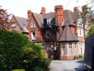
Up the hill and to the left is an area called Alexandra Park in the Mapperley part of the city. Depending on the time of year you may be able to see the tops of some houses.
This residential area was developed in the nineteenth century and is full of grand architect-designed villas that were home to Nottingham’s middle classes.
Many of the residents of Albert Road on the top side of the site bought adjoining plots in Stonepit Coppice. Some then extended their house garden into their allotment plot. Some continue to rent the plots attached to their garden. This reinforces the notion that the allotments were used by gardeners from a variety of incomes and social classes over the centuries.
Before continuing, look for the top of a small wooden summerhouse above the hedge to the left of 9th Avenue. This has a typical façade of a Victorian summerhouse. Look out for more glimpses of interesting buildings and structures as you walk along 9th Avenue.
Walk up 9th Avenue for about 100 metres until you reach a corner where 9th Avenue continues straight ahead unsurfaced and 10th Avenue goes down to the right. Stop at this junction.
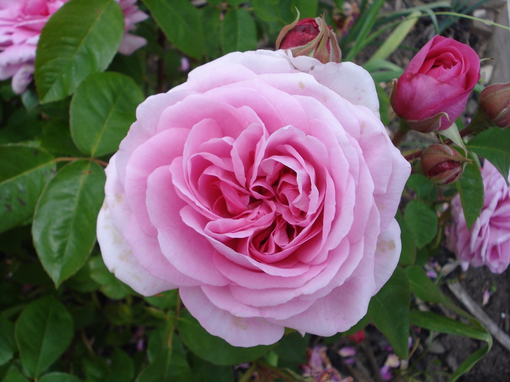
15 Floral insanity
Looking down 10th Avenue and across the far hillside, just to the right of the telecommunications mast you can see the roof and chimneys of an old Victorian redbrick building. Allotments originally spread all the way to this hill but land was sold in the 1870s to build Mapperley Hospital which served as the Borough of Nottingham Lunatic Asylum (and is now apartments).
Although allotments were used for food production, growing flowers was also very popular. In 1904 Mrs Gilbert recalled:
“I wish I could give you a fair picture of those Hunger Hill rose gardens... Those lovely gardens were arranged most effectively. The one I have specially in my mind was of five or six terraces; the lowest was planted with roses of the deepest red; the one immediately above glowed in crimson beauty; and so the gradation softened until the uppermost fascinated by their delicate hue. The last or top terrace was finished off by a trellis where the honeysuckle and jasmine rioted together in fragrant luxuriance.”
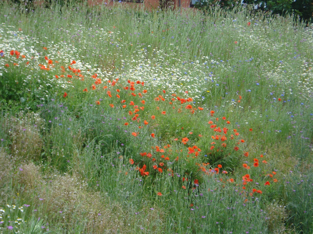
Some flowers were grown just for pleasure; some were sold to provide an additional income. Gardeners also competed against one another.
For example, the St Anns Rose show was established in 1859. Also from 1861 the St Anns Amateur Floral and Horticultural Society organised a Grand Horticultural and Floral Fete which was open to amateurs within a four mile radius of Nottingham.
There was even a variety of rose – an ivory-white hybrid tea rose – called St Anns because it was bred here. Unfortunately the St Anns Rose is no longer in existence because growing the ‘blousy’ Victorian varieties has largely gone out of fashion.
Walk down 10th Avenue for about 150 metres. Stop when you reach the entrance to a small car park on the left.
16 Bringing the community to the gardens
Not all garden plots are managed by individual tenants.
In fact about ten per cent of the allotment site is actually used by community projects.
From here we can see the plots of Ecoworks, a charity that supports people who are sociallydisadvantaged and vulnerable with activities connected to conservation, restoration and the environment.
You might be surprised to know that the surrounding neighbourhood of St Anns does not have a greengrocer or supermarket selling fresh vegetables.
Ecoworks runs a market garden here and part of this is a vegetable box scheme for the local community.
They grow produce in their own plots and collect surpluses from other gardeners on the site then sell it to the local community.
Ecoworks also has a Community Garden (up the gated pathway on the other side of 10th Avenue) where vulnerable people can enjoy being in an open green space.
Their substantial strawbale building, built by volunteers, demonstrates a return to the use of natural resources.
The Ecoworks garden also has two restored Victorian wells and a summerhouse.
Framework, a local homeless charity, also has a plot on this pathway. There are other small charities with plots here too. All see the benefits that gardening can bring to physical and mental health, well-being and social skills.
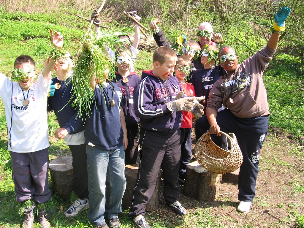
Schools groups come here too. Some rent their own plots; others attend sessions at the Community Orchard. The Community Orchard and schools work has been running for over 10 years now and most children growing up in St Anns have come down to the orchard at some point during their school years. It’s a haven for them to learn about nature and find out where our food comes from.
Continue down 10th Avenue for a short distance. Stop when you reach Garden C96a on the right. Look opposite at the pathway and steps into the trees.
17 Birds, bats and beanpoles
Allotments are not just about cultivating flower beds, vegetable patches and orchards. With the countryside shrinking rapidly year by year, the conservation and protection of wildlife is more important than ever.
Many plants and animals that struggle to survive on intensively-managed farmland find a refuge in green spaces like this in the heart of urban areas. The whole allotment site is now designated as a Site of Interest for Nature Conservation (SINC).
In this area of the site are the Urban Nature Gardens. These are managed wildlife gardens that are left uncultivated.
They comprise a mixture of habitats including ponds, hedges, woodland, ferns, coppice and wildflowers. Log piles, leaf litter and nesting boxes all encourage different species to come here.
A survey in Spring 2009 revealed 90 different plants growing (excluding trees and shrubs). Bird surveys have recorded at least 43 types of bird including some which are under threat such as the bullfinch, house sparrow, lesser-spotted woodpecker, marsh tit, starling, song thrush and willow tit. Bats are also known to feed across the site.
Among the success in terms of insects is the clear-winged moth whose larvae feed in the stems of currant and gooseberry bushes. They have not been seen in Nottinghamshire in 100 years but have made a comeback on this site.
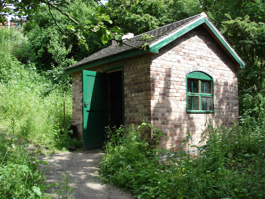
Up this pathway is Stonepit Copse. This was once part of The Coppice, a wooded area where timber was cut (or ‘coppiced’, hence the name) for use in buildings, fencing and fuel. The original coppice is long-gone but the area has now been replanted with hazel, oak and willow.
As in the old days the timber is harvested but nowadays it is a showcase for environmentallysustainable materials.
Allotment tenants can buy bean poles and pea sticks made from coppiced wood. Willow wands are also available for fencing, hedges, and baskets. The new coppice is also a haven for wildlife.
Do go up the pathway and explore if you are interested. You can see an old well that has been excavated and examples of hedge laying using traditional techniques.
When you are ready, continue down 10th Avenue. At the bottom it curves to the right and becomes 12th Avenue with a modern metal fence on the left. Stop after a short distance at the top of a rise in the avenue.
18 From wood to garden to park
This is 12th Avenue running along the northwestern edge of the site. Adjoining this path is Coppice Park.
As we heard at the last stop the name is a legacy of the past. On this hill was “a great wood of oaks and all kinds of brushwood on a hill bold and beautiful, which stretched from the Hunger Hills to St Ann’s Well”.
Over time many of the trees of The Coppice were cut down and the wood used in Nottingham by both people and industries. For many years this area was part of the allotment site.
By the turn of the twentieth century the city’s population had increased considerably and there was a need for open green spaces for the people. In 1905 the Council decided to turn allotment land here on the northwestern edge of the site into a public park.
Similarly they earmarked another section on the east side of the site to create Sycamore Park. There are Council records showing long-running debates about the tensions caused by the plans to requisition these gardens.
The public park was set out as an informal recreation area with no flower beds or plantings and local schools used it for games and recreation.
From the 1920s there were huts that each school took for a week at a time in the summer term to run classes each day in the park.
Right above your head here are plum and cherry trees overhanging from the park which should be full of fruit in the summer months.
Continue down 12th Avenue. Stop after about 50 metres outside Garden C79a on the right.
19 A global garden
Another significant change in the population of Nottingham came in the mid twentieth century. After the Second World War many of the plots here in 12th Avenue were taken on by Polish immigrants. They brought their knowledge of beekeeping and honey production and so this area of the site became known for bee keeping. Records show that horticultural shows started awarding prizes for honey production from the mid 1940s.
The 1960s saw immigrants from across the British Empire settle here and some of the immigrants took plots here at the allotments, including Tom Oliver, the Jamaican whose former garden we stopped at earlier.
Back home some of the immigrants had been farmers or cultivated kitchen gardens so they were keen to continue here in the UK. They introduced fruit and vegetables from their home countries; for example West Indians grew callaloo (a type of spinach). Here’s Tom Oliver reminiscing about his garden:
“It was one of the best ones... Me grow tomato, chrysant, plenty of callalloo, corn on the cob, red peas, runner bean, and all that. I make good use of it... Was eating good, man! I believe up Hungerhill nobody never have such quality runner bean what I have.”
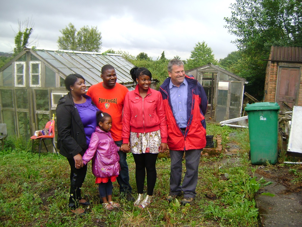
Throughout its history the tenant gardeners have reflected wider immigration trends in Nottingham. From Mr Weisbloom we heard about earlier, who was almost certainly a Polish Jew, through to Polish settlers after the Second World War and West Indians from late 1950s. More recently there have been Kurdish refugees, Africans and Eastern Europeans. The allotments here are a real reflection of the diverse population of Nottingham today.
Continue along 12th Avenue for a short distance until you reach the junction with 13th Avenue and 8th Avenue. Stop at the junction.
20 Changing times
After the Second World War, demand for allotments declined. Although some local and immigrant communities took up plots, as we have already heard, the overall trend was a decline in allotment gardening from the 1960s, something that was happening all over the country. Various factors contributed to this.
First the shops and newly-emerging supermarkets were stocking a greater variety of produce.
Second, people were more affluent and could increasingly afford fridges and freezers in their homes which preserved food for longer.
Thirdly many of the Victorian terraced houses were demolished as part of slum clearance programmes and people were relocated, often in houses with gardens.
Fourth there was a change in the focus of family leisure time away from spending time outdoors; in particular the television became a focal point of the home.
Allotments became the preserve of the retired man while some of the gardens became overgrown and attracted vandals and thieves.
Much allotment land was sold off for housing and other developments. For example, the housing estate that you can see on the hillside opposite was part of the allotment site until the 1960s when it was sold off.
But that was not the end of the story of the allotments as we shall discover at the next and final stop.
Go through the gate into the grounds of the Visitor Centre.
21 A new lease of life
By the early 1990s half the gardens on this site were vacant. The Council at the time had no money or interest in maintaining the site and, at over 70 acres, it seemed impossible for the tenants to take it on as a self-managed site.
However, a small dedicated group of tenants challenged the inevitability of further land sale and began a campaign to save these gardens, as one describes:
“There were some people who had a similar kind of passion for the place... I was quite filled with that passion at the time. I was fired up by environmental activism, doing something here rather than going off to a protest camp.”
Some of the campaigners were experienced activists and got a lot of local publicity. They also convinced national personalities to support them such as television gardener, Monty Don. What we can see today is the result of their campaign which succeeded against all odds.
The site was awarded English Heritage listing. They have secured major investment to make the site viable.
The gardens have undergone major refurbishment over the last five years with funding from Heritage Lottery Funds and others.
Roads have been laid, 20 foot high hedges reduced to a manageable level, plots brought back into use, a bore hole sunk for water, terraces repaired, entrances secured. The gardens now have a waiting list for the first time in a generation.
The Visitor Centre, opened in May 2013, is the final piece of the 20-year campaign to save these gardens. This walk is another part of the project to encourage people to visit the allotments.
We hope that you have enjoyed exploring this unique site on the outskirts of Nottingham city centre. We have found out how this site has changed over the centuries from rough pasture to detached gardens and from allotments to a community resource.
The changing ownership and management of this site by the Church, the Crown, the Corporation, the Council and a charity have each left their imprint in the names and layout of the site.
We have found out how different people have used this site – for leisure, for recreation, for food production and as a home. We have discovered an amazing variety of things that are grown here from pear trees to goji berries and from prize-winning roses to Caribbean callalloo.
We have also seen that each small plot has a unique character which reflects its tenants over the generations each of whom have put their stamp on the structures and plant life.
Today the allotments are a shining example of sustainable food production, an urban oasis for wildlife and a model for the local community. Do pop into the Visitor Centre to give your feedback and have a cup of tea.
Over 700 gardens, 140 varieties of apple, 43 types of bird, 32 miles of hedgerow. Not what you expect to find in an inner city neighbourhood.
St Anns Allotments developed from common ground and Victorian leisure gardens into a vibrant community resource.
Find out about the people who leased plots, the things they liked to grow and how gardening has changed over the centuries.
Please note:You can only do this walk during public opening hours. The Visitor Centre is normally open weekdays from 10am to 4pm but do call beforehand to check (0115 958 9255). Also check the STAA website below for weekend opening times.
Follow the walk by clicking on the map pins or downloading the guides below
 STAA.JPG)
 Jenny Lunn.JPG)